A seven-day British Virgin Islands sailing itinerary
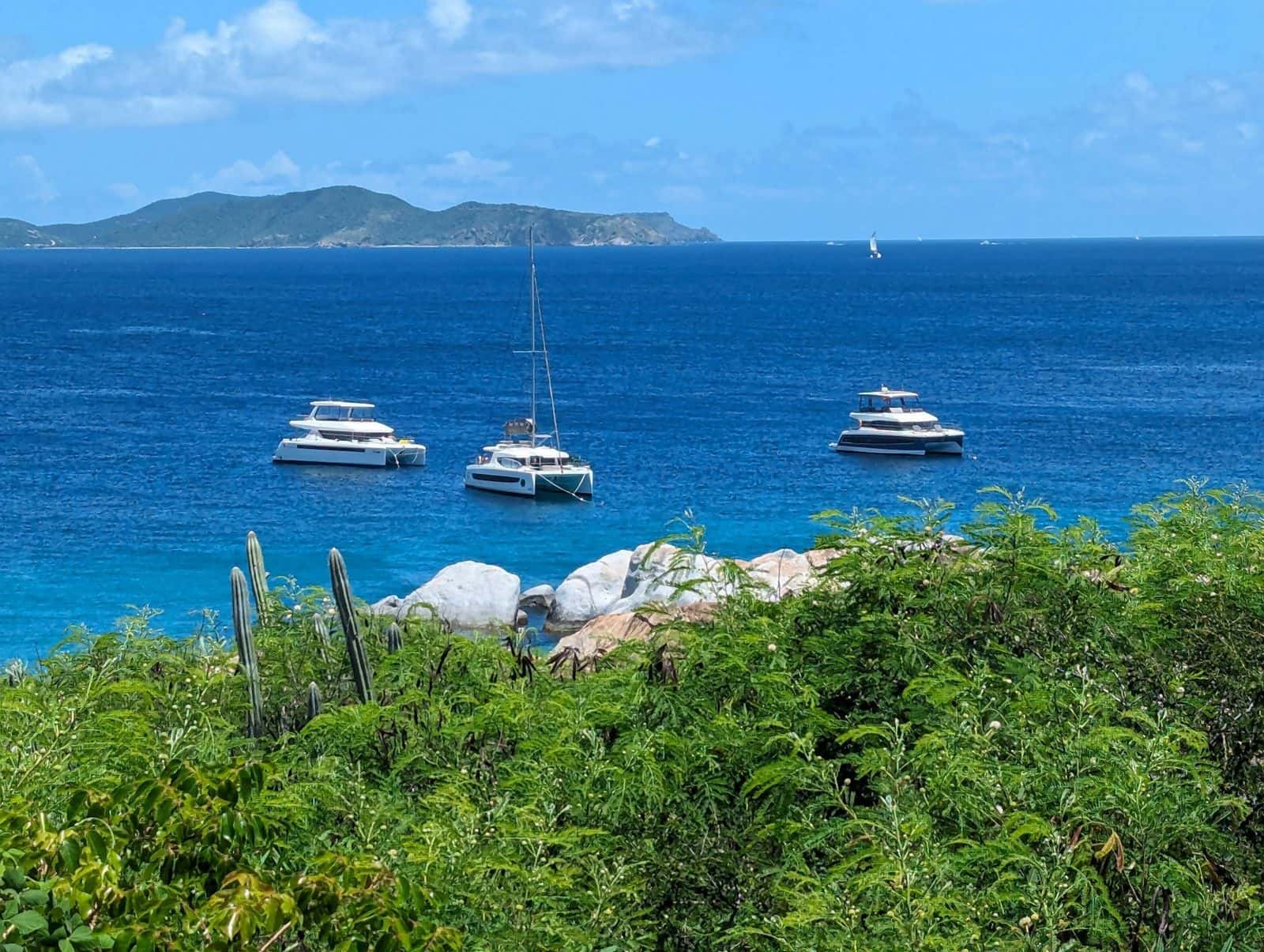
On a British Virgin Islands sailing itinerary the distances are easy and the rules are strict. The legs are short; what shapes the week is where you clear customs, which buoys you may keep overnight, and the reef off Anegada you must never anchor on. This loop runs seven days from Road Town, with a night ashore at either end.
| Route | Road Town, Norman Island, Salt and Cooper Islands, Virgin Gorda, Anegada, Jost Van Dyke, West End Seven nights from a Road Town charter base; legs measured on the map, 2026-10-16. |
|---|---|
| Longest leg | About 27 nautical miles, Anegada to Jost Van Dyke In a straight line, our read from the map; the course sailed is longer. |
| Ports of entry | West End, Road Town, Great Harbour, Spanish Town Daily hours: West End 8 am to 9 pm, Road Town and Spanish Town 8:30 am to 7 pm, Great Harbour 8:30 am to 4:30 pm (BVI Tourist Board, checked 2026-10-16). |
| National Parks Trust moorings | Day use only, 90 minutes, permit required by law Illegal to use overnight. The Trust prints no permit fee on its site as of October 2026; the charter company sells the permit (National Parks Trust of the Virgin Islands, checked 2026-10-16). |
| Trust buoy colors | Orange not diving, white diving, yellow commercial, large yellow 55 to 80 feet, blue dinghies The white 18-inch balls in most anchorages are overnight moorings, paid for there (National Parks Trust, checked 2026-10-16). |
| RMS Rhone | Sank 1867; two main parts in 20 to 80 feet of water off Salt Island Inside the Dead Chest and RMS Rhone park, established 1980; no anchoring or fishing (National Parks Trust, checked 2026-10-16). |
| Horseshoe Reef, Anegada | No anchoring, no fishing A protected area under the territory's fisheries law; come in by the marked channel to the moorings off Setting Point, in daylight; your charter company's briefing has the current chart (checked 2026-10-16). |
| The Baths | $3 an adult, $2 a child, 8:30 am to 4:30 pm The Greater Baths Day Pass, National Parks Trust, October 2026. |
| Passports | Everyone aboard, US citizens and children included To enter and to leave, by sea or air (BVI Tourist Board, checked 2026-10-16). |
| Wind | From the east-northeast in winter, the east in May and October Mean direction by month at NOAA buoy 41052, south of St. John, 2015 to 2025, our computation, 2026-10-16. |
| A night ashore, by car | Road Town ferry to Brewers Bay 14 minutes, Cane Garden Bay 19; West End ferry to Smuggler's Cove 7, Long Bay 8 Our measurement, 2026-10-16; the middle of the Road Town area is 9 minutes from its ferry terminal. |
| Ashore at Norman Island | Pirates Bight 11 am to 9 pm daily, October 2026 to July 2027; the Willy T, lunch 12 to 3 pm, dinner 6:30 to 9 pm Each business's own site, checked 2026-10-16; the Willy T answers on VHF 16 and 74 and dates none of its hours. |
| Cooper Island Beach Club | Closes for the late summer, usually reopening at the start of the season 40 moorings for boats up to 60 feet. Its site showed it closed for the season from August 3, 2026 when we checked on October 21; check with the beach club before you plan an autumn night. |
| Ashore in North Sound | Saba Rock tarpon feeding 5 pm daily; Leverick Bay closes its upstairs restaurant Fridays, beach barbecue 6:30 to 9:30 pm Each business's own site, checked 2026-10-16; Bitter End is reached by boat only. |
| Ashore on Jost Van Dyke | Foxy's, 9 am to midnight depending on the crowd; the Soggy Dollar Bar publishes no hours Foxy's own words, serving since 1968; from the Great Harbour and White Bay area pages, checked 2026-10-16. |
A seven-day BVI sailing itinerary, leg by leg
The week runs east up Sir Francis Drake Channel with the wind ahead of the beam, out to Anegada, then west with the trade wind behind you. Most legs are a morning's sail, which is how the Trust's day buoys and the afternoon rush for overnight moorings are meant to be used.
| Day | Leg | About, straight line | The night | Ashore |
|---|---|---|---|---|
| 1 | Road Town to the Bight, Norman Island | 6 nm | The Bight's mooring field | Pirates Bight, the Willy T |
| 2 | The Bight to the Rhone at Salt Island, then Cooper Island | 6 nm, then 1.5 | Cooper Island's moorings | Cooper Island Beach Club, in season |
| 3 | Cooper Island to the Baths, then North Sound | 5 nm, then 7 | North Sound | Saba Rock, Leverick Bay, Bitter End |
| 4 | North Sound to Anegada | 13 nm | Moorings off Setting Point | Lobster, ordered by afternoon |
| 5 | Anegada to Great Harbour, Jost Van Dyke | 27 nm | Great Harbour | Foxy's; customs on the jetty only for a boat from the US side |
| 6 | Great Harbour to White Bay and back | Under 1 nm | Great Harbour | The Soggy Dollar Bar |
| 7 | Jost Van Dyke to Soper's Hole, West End, then Road Town | 4 nm, then 5 | Ashore | Soper's Hole; customs here only if you are bound for St. Thomas |
Distances are straight lines on the map, measured October 16, 2026; the course sailed is longer, and longer again on a beat. For five days, drop Anegada. For ten, add a night either side of it and a day at the Rhone.
Where to clear BVI customs arriving by boat
A boat from the US side clears at one of four offices before it goes anywhere else: West End and Road Town on Tortola, Great Harbour on Jost Van Dyke, and Spanish Town on Virgin Gorda, at the jetty in St. Thomas Bay. Norman Island and Anegada have none, so neither can be the first stop, and Great Harbour closes earliest, which decides how late a boat from St. John can leave.
Everyone aboard shows a passport to enter and to leave, children and US citizens included, per the BVI Tourist Board. A visiting yacht also pays a cruising permit, per person per day, under the Cruising and Home Permit Act, 2021; the rates in print disagree, so the charter company or HM Customs quotes it. Coming home, the boat clears U.S. Customs and Border Protection on arrival.
The National Parks Trust's day-mooring rule
The National Parks Trust's buoys are for daytime stops, never the night, and that rule sets the rhythm of the week. A National Parks Mooring Permit is required by law, the moorings are for day use only, it is illegal to use them overnight, and each carries a 90-minute limit, first come, first served, per the Trust's marine page as of October 2026. Buy the permit with the charter, from a dive shop or at the Trust's office on Main Street in Road Town; a foreign vessel buys it at Customs on entry. The Trust prints no fee, and its online application takes up to five business days.
The colors are in the facts above; the white balls in the anchorages are someone else's overnight moorings. In the Dead Chest and RMS Rhone park off Salt Island, anchoring and fishing are strictly prohibited. So: snorkel stops in the morning, the night in an anchorage with a field of its own.
Days one and two: Norman Island, the Rhone, Cooper Island
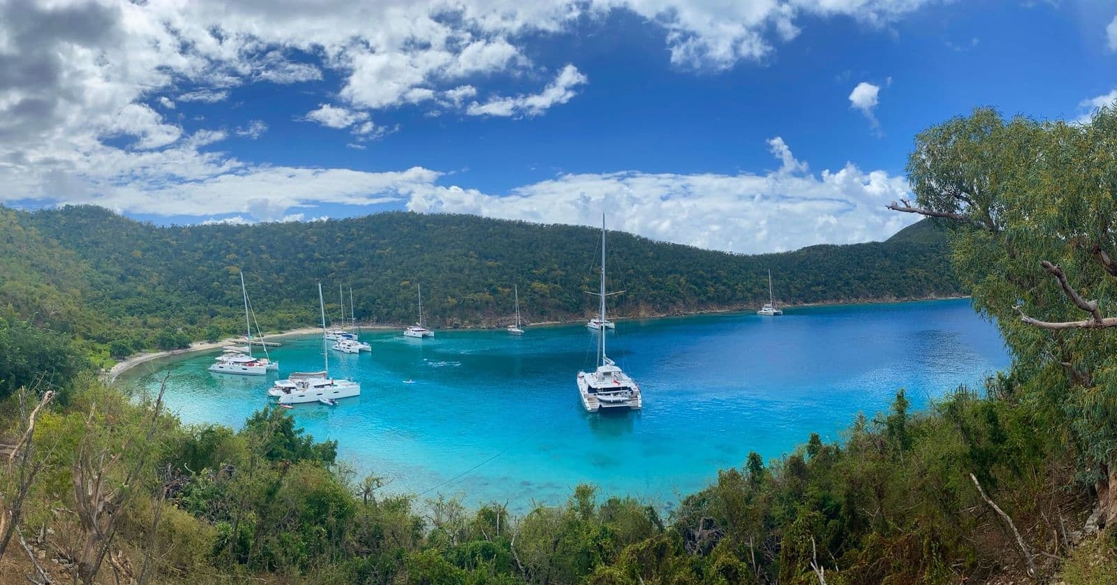
Day one is short by design. The Bight, on Norman Island's west side, is the classic first night: a deep bay with more than 100 moorings by Pirates Bight's count, Pirates Bight's restaurant on the beach and the Willy T afloat offshore. The Willy T is a floating bar and grill, serving lunch from noon to 3 pm and dinner from 6:30 to 9 pm, and it answers on VHF 16 and 74. The island is privately owned and has no customs office, so a boat from St. John clears at West End first. Next morning, the Caves and the Indians come first, before the day boats arrive from Road Town.
The RMS Rhone, wrecked in a hurricane off Salt Island in 1867, is the territory's most popular dive site by the Trust's account, and no boat may anchor over it. Cooper Island is a short hop on. Its beach club keeps 40 moorings for boats up to 60 feet, a rum bar and a solar-powered microbrewery, which is the reason to stop for the night. The tradeoff: it closes for the late summer and into the autumn, so call before you plan the second night there.
The Baths, North Sound and the reef run to Anegada
Go to the Baths early: the boulders at Virgin Gorda's south-west tip draw every day boat in the channel, and you come in by dinghy from the Trust's moorings outside the swim lines. The trail to Devil's Bay asks you to crawl, climb ladders and wade, in the Trust's words, and a winter swell can make the moorings unusable, so keep a second plan.
North Sound is the night after; then Anegada, a flat coral island ringed by Horseshoe Reef, the one leg that asks for judgment. The reef is a protected area: fishing is prohibited and anchoring on it is illegal, so come in by the marked channel to the moorings off Setting Point, in daylight. Some charter companies keep their boats off the Anegada leg, so ask yours before you plan it. Ashore, order the lobster in the afternoon, about 4 pm at several restaurants by our read.
Jost Van Dyke and the downwind run home
Day five is the long one, and the one that is mostly sailing, with the wind usually behind you: on NOAA's buoy south of St. John it blows from between east-northeast and just south of east, on average, in every month. Leave at first light.
Great Harbour has the customs office on the jetty and Foxy's at the east end of the beach. Day six is White Bay and the Soggy Dollar Bar, a short hop west; Sandy Cay and Diamond Cay, National Parks Trust land, make a quieter morning. Day seven is Soper's Hole at West End, then down the channel to Road Town.
Nights ashore before and after a BVI yacht charter
A charter week starts at a dock with a provisioning list and ends there with a boat to hand back; a night ashore at either end takes the strain out of both. Brewers Bay and Cane Garden Bay are a short drive over the hill from the Road Town ferry; Smuggler's Cove and Long Bay are closer still to West End, where the Red Hook boats land.
The tradeoff: this itinerary assumes the winter and spring trade winds. From August to October the storm risk peaks and several businesses on this list close for weeks, so the same week is a different trip, and some parties keep the villa and take day sails instead.
Questions about the BVI
How many days do you need to sail the BVI?
Seven covers the classic loop from Road Town: Norman Island, the Rhone and Cooper Island, the Baths, North Sound, Anegada and Jost Van Dyke. Five works without Anegada, the one leg that needs settled weather and the charter company's agreement. Ten buys a spare day for weather and a second night on Anegada or in North Sound.
Do you need a mooring permit in the BVI?
Yes, to use any National Parks Trust mooring, by law, per the Trust as of October 2026. Buy it from the charter company, a dive shop or the Trust's Road Town office; a foreign vessel buys it at Customs on entry. The Trust's buoys are day use only, 90 minutes at a time, and illegal to use overnight.
Where do you clear customs in the BVI by boat?
At one of four offices: West End, 8 am to 9 pm; Road Town and Spanish Town, 8:30 am to 7 pm; or Great Harbour on Jost Van Dyke, 8:30 am to 4:30 pm, every day per the BVI Tourist Board as of October 2026. Everyone aboard needs a passport, children included. Norman Island and Anegada have no office.
Can you anchor off Anegada?
Not on Horseshoe Reef: it is a protected area where fishing is prohibited and anchoring on the reef is illegal. Boats follow the marked channel to the moorings off Setting Point in daylight. Many charter companies restrict the leg, so ask yours first.
Facts checked against the National Parks Trust of the Virgin Islands, the BVI Tourist Board, the Anegada Reef Hotel, Pirates Bight and Cooper Island Beach Club. Checked October 2026.