Welcome. More villas are arriving soon. Meanwhile, explore the islands. List your villa
Virgin Islands Villas
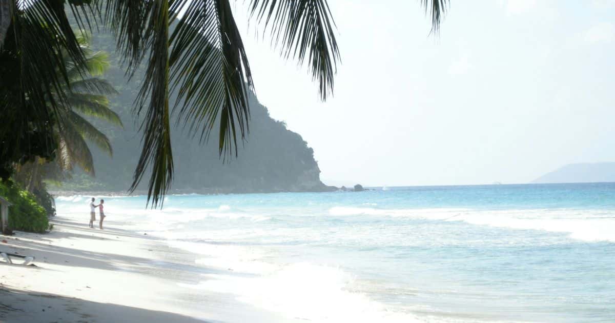
Long Bay, Tortola: a leaning palm over white sand and small surf, a steep headland beyond.
British Virgin Islands

British Virgin Islands

Road Town now85°partly cloudy· water 86°

The British Virgin Islands are a British Overseas Territory in the Caribbean, more than fifty islands and cays beginning just east of St. John, a ferry ride and a passport away. Tortola has the airport, the ferries and most of the houses; Virgin Gorda has The Baths; Jost Van Dyke the beach bars; Anegada the reef. Choose the island first.

No villa here is listed yet; the island guides are. Listings follow as owners on Tortola, Virgin Gorda and Jost Van Dyke join.

The land

Four main islands, and none alike.

Tortola is a ridge with the capital and the airport; Virgin Gorda has the granite boulders of The Baths; Jost Van Dyke is beach bars and one road; Anegada is flat coral ringed by reef.

Arriving

Another country, with a border.

Every visitor, US citizens and children included, carries a passport book or a US passport card, per the Government of the Virgin Islands. The money is the US dollar and the language English.

Staying

Choose the island first.

Only a ferry or a launch joins the islands, so the island comes before the house. Tortola is the easy base; each island beyond it is quieter, and more bound to the boat timetable.

Which island to stay on

Stay on Tortola for the ferries and the widest choice of houses: Road Town for the boats and the shops, Cane Garden Bay for a beach you walk to, the East End for a flight in or out. Virgin Gorda is slower, its days arranged around The Baths in the south and North Sound in the north. Jost Van Dyke and Anegada reward a second visit, planned around the boat, since every island beyond Tortola adds a crossing to each arrival and departure.

Area to stay Beach (a palm) Ferry dock, airport Capital, main town Ferry route US and British watersOpen the full map

Every island on one mapThe British islands beside St. Thomas and St. John, with the border, the airports and the ferry docks.

Tortola

Tortola is the main island of the British Virgin Islands and the one most visitors land on: a single ridge with the capital, Road Town, and the harbors on its sheltered south side and the beaches strung along the north. It has the most houses, the airport and Road Town's supermarkets, and it asks for a car and a passport.

No villas here yet: read the Tortola guide

11 mindrive to town

Virgin Gorda

Virgin Gorda is the British Virgin Islands at a slower pace than Tortola: a small, steep island east of it with the granite boulders of the Baths at one end and the sailing water of North Sound at the other. It suits a party on its second Virgin Islands trip, ready to rent a car, carry a passport and plan around the ferry.

No villas here yet: read the Virgin Gorda guide

19 mindrive to the ferry

  • Mahoe Bay 11 min

Jost Van Dyke

Jost Van Dyke is the small, steep island north of Tortola where a week in the British Virgin Islands is lived between two bays: Great Harbour, with the ferry, the customs office and Foxy's, and White Bay, with the Soggy Dollar and the sand the day boats sail in for. It suits a party happy to live by the ferry.

No villas here yet: read the Jost Van Dyke guide

9 mindrive to the ferry

  • White Bay 13 min

Anegada

Anegada is the odd one out in the British Virgin Islands: a flat coral island at the northern edge, ringed by Horseshoe Reef, its north-shore beaches empty at the end of sand roads and its lobster landed to order. The catch is the ferry: three sailing days a week, two weeks on and two off, which makes it a second visit rather than a first.

No villas here yet: read the Anegada guide

12 mindrive to the ferry

Compare all 18 areas side by side

British Virgin Islands beaches

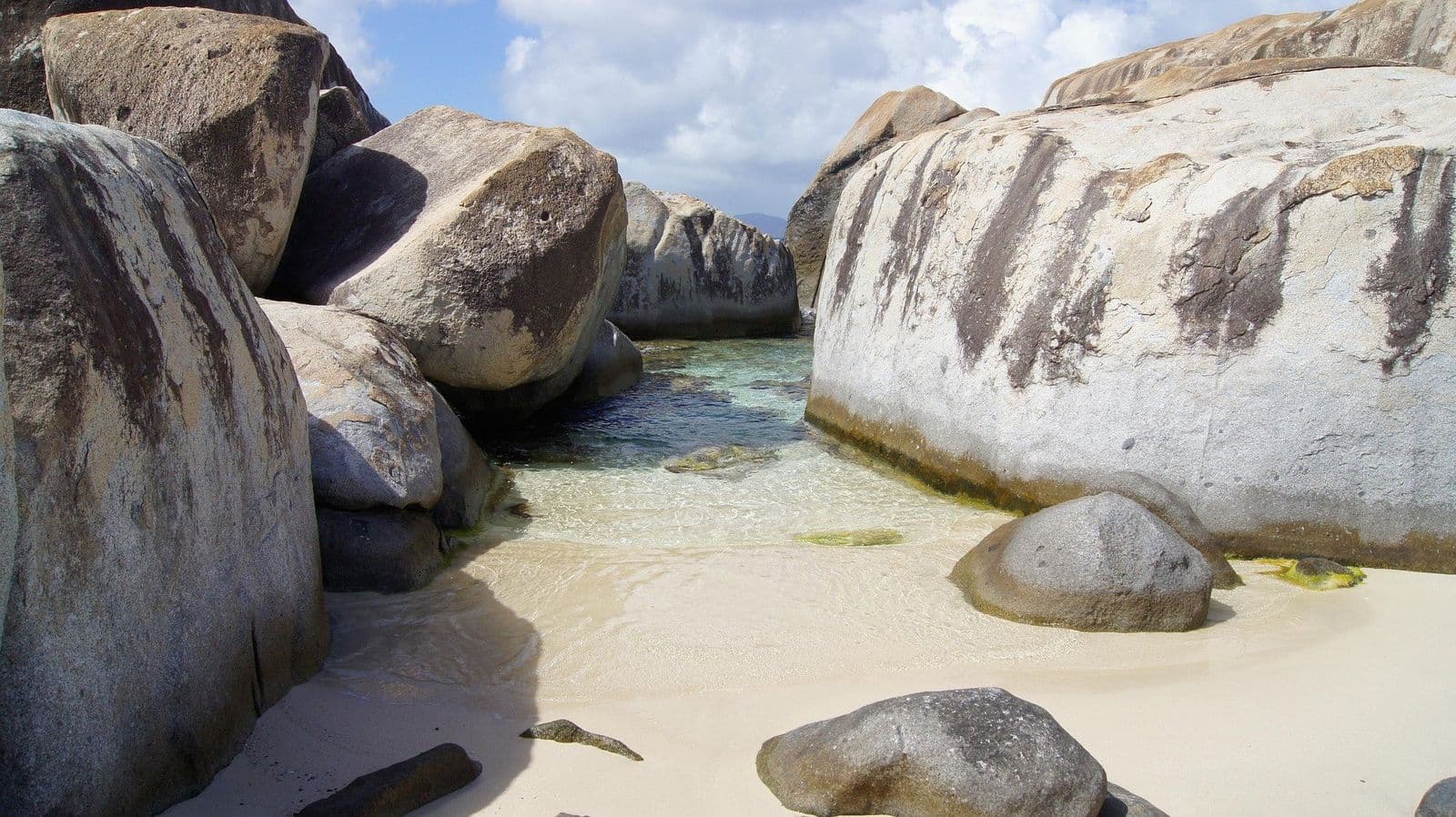
The Baths on Virgin Gorda are granite boulders and sea pools, on the National Parks Trust's day pass, $3 an adult as of October 2026, which covers Devil's Bay too; Savannah Bay, the long beach north of Spanish Town, is free. On Tortola's West End, Long Bay is a mile of sand and Smuggler's Cove has reef close to shore. White Bay on Jost Van Dyke is at its quietest before the day boats arrive in late morning, and on Anegada, Loblolly Bay has Horseshoe Reef close enough to swim to.

Calmest today, Oct 23: The Baths, White Bay and Savannah Bay. From the morning swell against the way each bay opens, our read from the map; each beach page has the numbers.

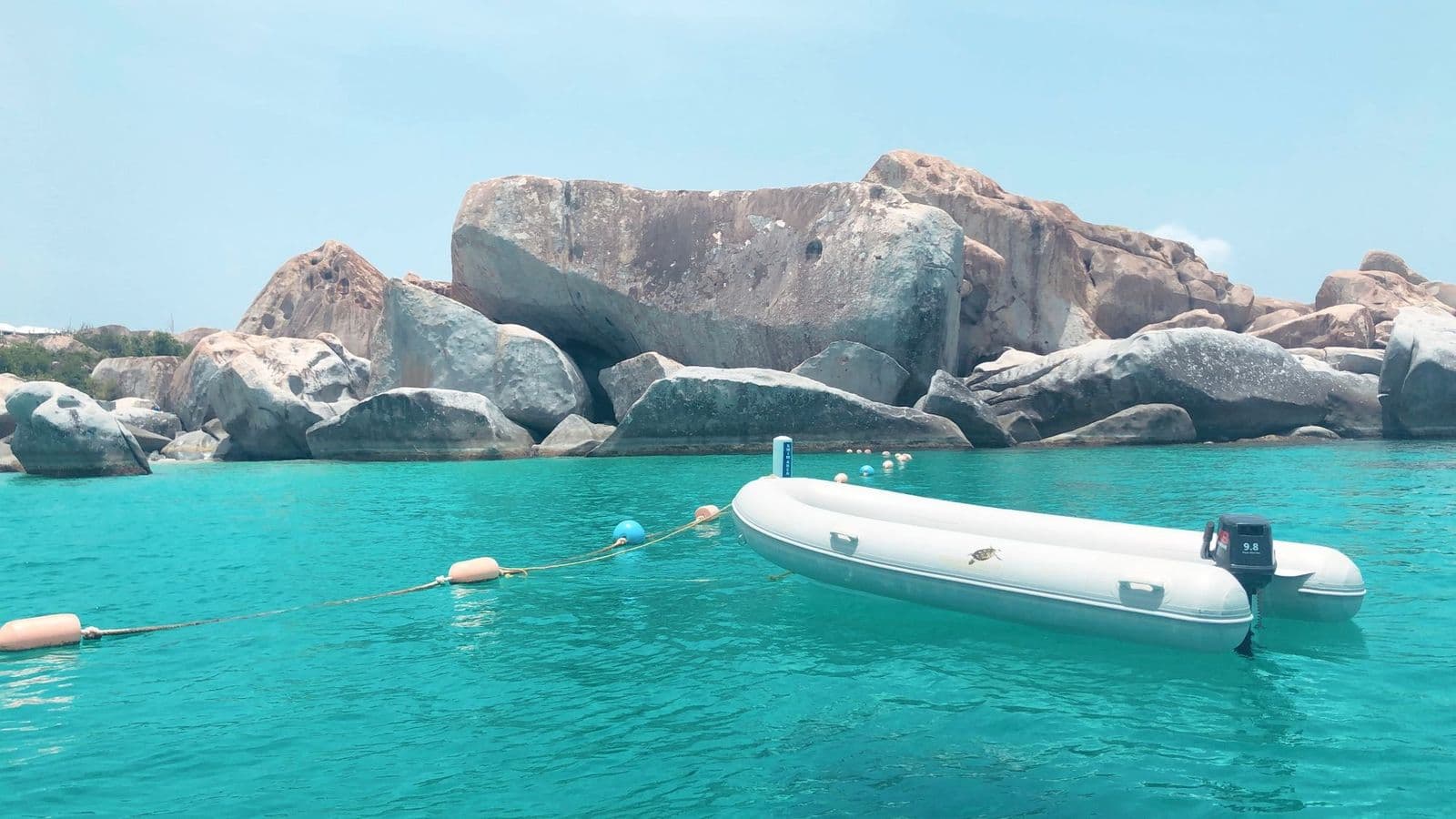
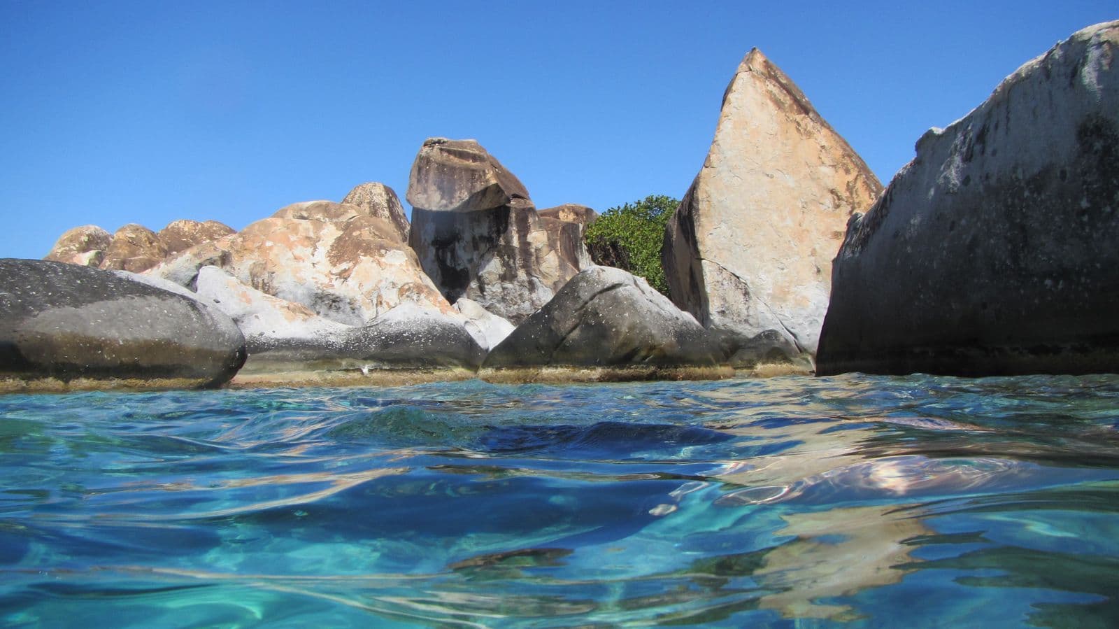
  • The Baths, Virgin Gorda, from the water: granite boulders above turquoise water, a dinghy moored

    The Baths

    The Baths are the most famous sight in the British Virgin Islands.

    • Sheltered today
    • Entry fee
    • Busy on ship days
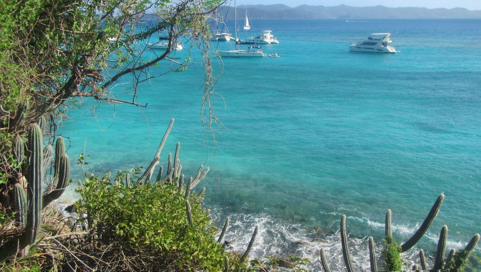
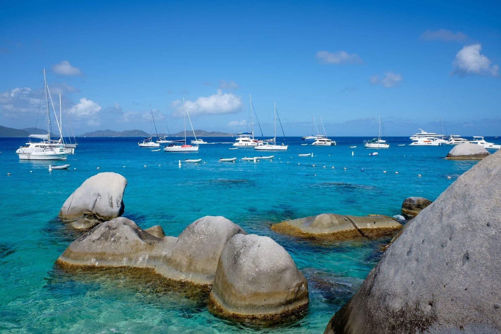
  • Turquoise water and anchored boats off White Bay, Jost Van Dyke, seen past cactus

    White Bay

    White Bay is the Soggy Dollar Bar's beach.

    • Sheltered today
    • Free
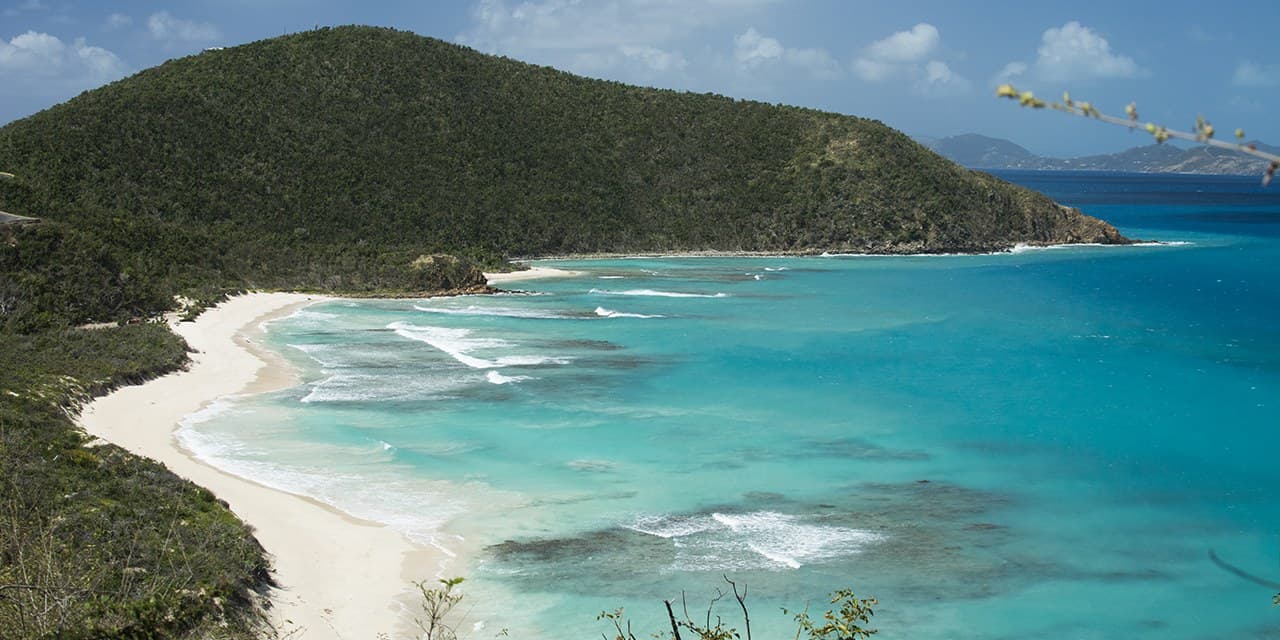
  • Savannah Bay, Virgin Gorda, from the overlook: white beach, reef-streaked water, a green headland

    Savannah Bay

    Savannah Bay is Virgin Gorda's long, quiet beach, a curve of sand where the island narrows between The Valley and North Sound, with a reef close to shore and nothing for sale on it.

    • Sheltered today
    • Free
  • Long Bay

    Long Bay Beach is a mile of sand on Tortola's West End.

    • Sheltered today
    • Free
  • Apple Bay

    Apple Bay beach is the surf break at Tortola's west end.

    • Sheltered today
    • Free
  • Brewers Bay

    Brewers Bay is the quiet snorkeling beach on Tortola's north shore.

    • Sheltered today
    • Free
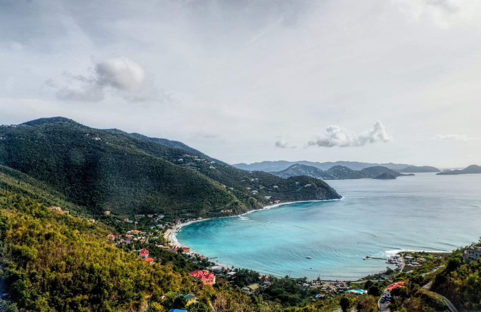
  • Cane Garden Bay, Tortola, from the hillside: the curve of the beach, pale blue water, green ridges

    Cane Garden Bay

    Cane Garden Bay beach is the Tortola most people picture.

    • Sheltered today
    • Free
    • Busy on ship days
  • Cow Wreck Beach

    Cow Wreck Beach is the Anegada beach with the bar.

    • Exposed today
    • Free
  • Granite boulders at The Baths on Virgin Gorda, seen from the water, west of Crook Bay

    Crook Bay, Virgin Gorda

    Crook Bay is a small cove of sand and boulders on Virgin Gorda's south shore.

    • Free
  • Devil's Bay, Virgin Gorda: rounded granite boulders in clear turquoise water, sailboats offshore

    Devil's Bay

    Devil's Bay is the reward at the end of the boulder trail on Virgin Gorda.

    • Sheltered today
    • Entry fee
    • Walk in
  • Josiah's Bay

    Josiah's Bay beach is Tortola's surf beach.

    • Sheltered today
    • Free
  • Lambert Beach

    Lambert Beach is the wide, quiet bay on Tortola's north-east shore, a long run of sand east of Stony Bay Point with a resort behind it and little else in sight.

    • Sheltered today
    • Free
  • Leverick Bay beach, Virgin Gorda

    Leverick Bay beach is a small strip of sand on Virgin Gorda's North Sound.

    • Free
  • Little Bay, Tortola

    Little Bay on Tortola is a small cove on the north-east shore.

    • Free
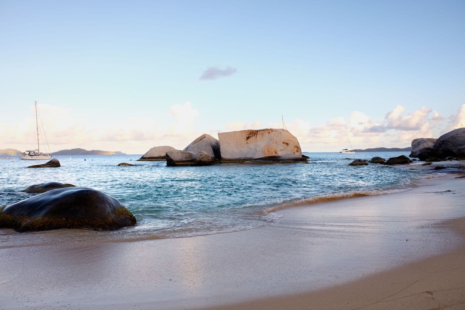
  • Sand and granite boulders at dusk on Virgin Gorda's southwest shore, near The Baths

    Little Trunk Bay, Virgin Gorda

    Little Trunk Bay is the small, quiet cove just north of Spring Bay on Virgin Gorda: white sand between granite boulders, clear water and usually nobody on it.

    • Free
  • Loblolly Bay

    Loblolly Bay is the beach people cross Anegada for.

    • Exposed today
    • Free
  • Long Bay, Virgin Gorda

    Long Bay on Virgin Gorda is not the long beach on Tortola but a small half-moon of sand tucked inside Mountain Point on the northwest tip.

    • Free
  • Mahoe Bay

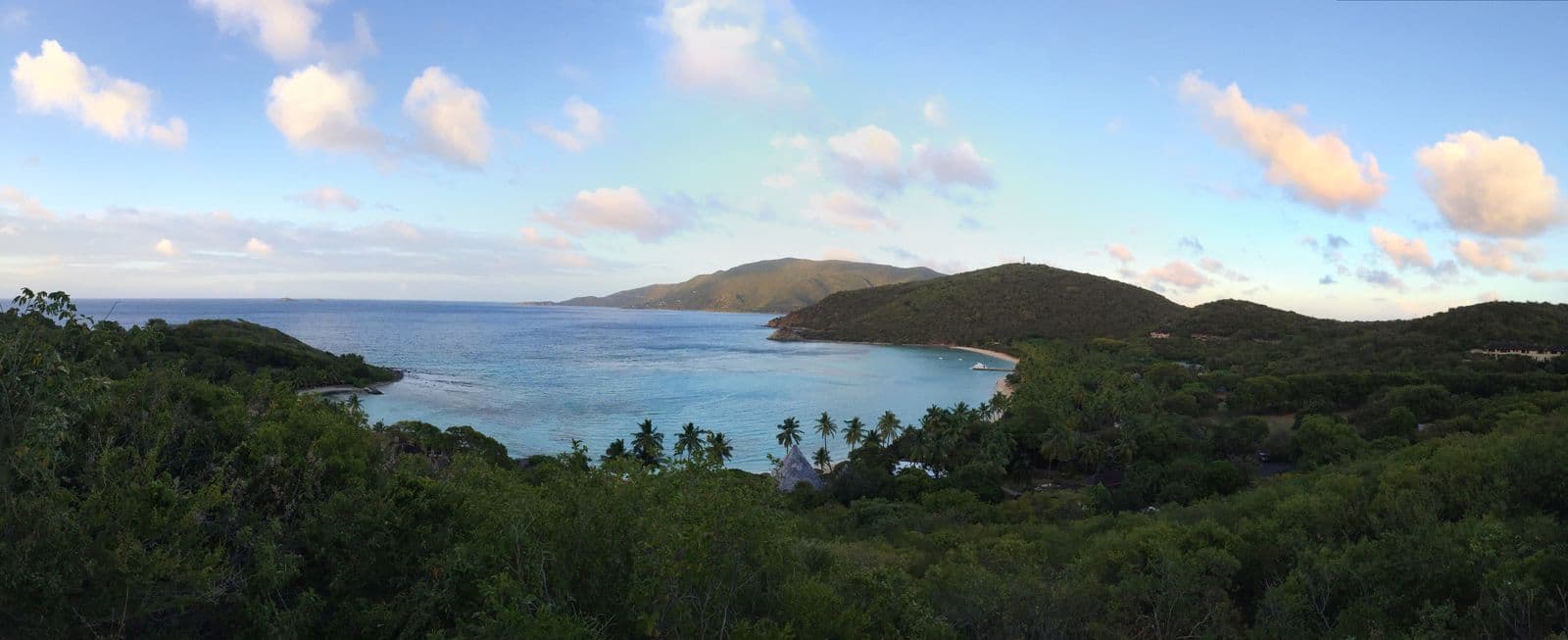
    Mahoe Bay is a small, calm cove on Virgin Gorda's northwest coast, below a hillside of villas and beside one small resort, with a reef close in and the Sir Francis Drake Channel beyond.

    • Sheltered today
    • Free
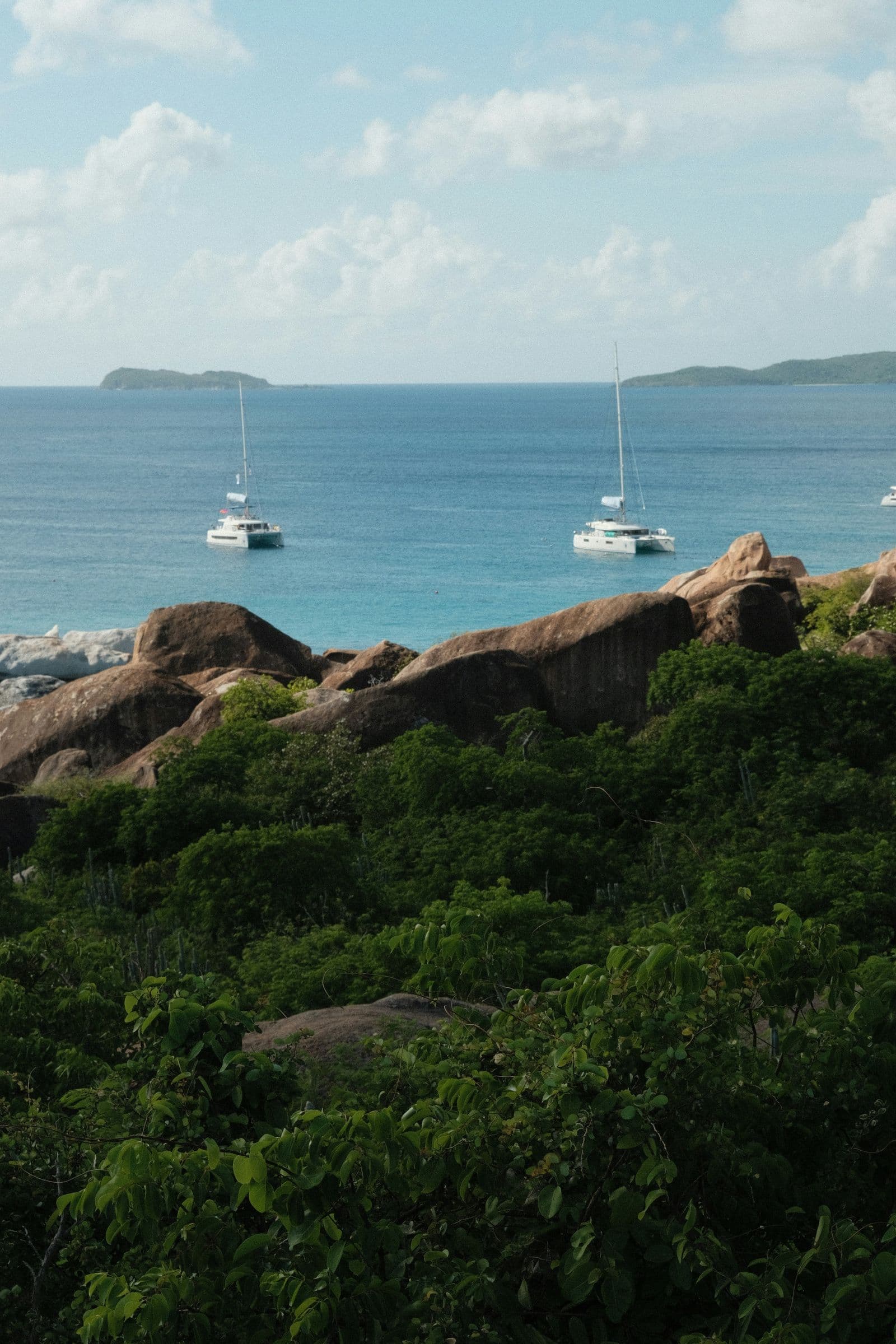
  • Granite boulders and anchored catamarans off the coast of Virgin Gorda, seen from the hillside

    Mountain Trunk Bay, Virgin Gorda

    Mountain Trunk Bay is the quiet cove below the Nail Bay estate on Virgin Gorda's northwest coast.

    • Free
  • A palm-lined bay and wooded headlands on Virgin Gorda, seen from the hillside above

    Nail Bay, Virgin Gorda

    Nail Bay is the villa estate on Virgin Gorda's northwest slope and the long beach below it.

    • Free
  • Smuggler's Cove

    Smuggler's Cove is the beach at the far western tip of Tortola.

    • Sheltered today
    • Free
  • Spring Bay, Virgin Gorda: a small sandy cove and shallow pool between huge granite boulders

    Spring Bay

    Spring Bay is The Baths with room to sit.

    • Sheltered today
    • Entry fee
    • Busy on ship days
  • Trunk Bay, Tortola

    Trunk Bay on Tortola is a long, quiet strand on the north shore, the next bay east of Brewers Bay, with villas on the hillside above and nothing on the sand but the sand.

    • Free
Compare all 23 beaches

Getting to the British Virgin Islands

  1. 1 · FlyInto Terrance B. Lettsome International Airport (EIS) on Beef Island, joined to Tortola by the Queen Elizabeth II Bridge. American Airlines flies nonstop from Miami; others connect through San Juan, St. Thomas, St. Maarten and Antigua, per the BVI Tourist Board as of October 2026.
  2. 2 · FerryFrom St. Thomas, Charlotte Amalie to Road Town is 50 minutes by Road Town Fast Ferry's figure, and Red Hook to West End runs three times a day as of October 2026; fares are quoted at booking. Virgin Gorda is a second ferry, Speedy's from Road Town or Trellis Bay, $30 one way as of October 2026.
  3. 3 · BorderA passport book or US passport card for everyone, per the Government of the Virgin Islands, and the online entry form before you travel. The UK Foreign, Commonwealth and Development Office lists a $10 levy on arrival, a $20 departure tax by ferry and a stay of up to one month without a visa, as of October 2026.
  4. 4 · CarRent one at the airport or in Road Town. Driving is on the left, a home license covers the first 30 days, and for longer stays the Department of Motor Vehicles issues a $10 temporary BVI license, by National's terms as of October 2026. On Jost Van Dyke, taxis run by arrangement.

When to go to the British Virgin Islands

December to April is the dry season and the busy one; February to April are the driest months, about 2 inches of rain each by our read, since the territory publishes no station normals. Hurricane season runs June 1 to November 30, and 17 of the 19 storms that passed within 100 km of Road Town in 34 seasons came from August to October; November brings the most rain.

  • Jan: dry and busy
  • Feb: dry and busy
  • Mar: dry and busy
  • Apr: dry and busy
  • May: quieter, warmer sea
  • Jun: quieter, warmer sea
  • Jul: quieter, warmer sea
  • Aug: quieter, warmer sea
  • Sep: the most rain
  • Oct: the most rain
  • Nov: the most rain
  • Dec: dry and busy
  • High season · dry and busy
  • Shoulder · quieter, warmer sea
  • Wet season · the most rain

Seasons

High seasonDec – Apr

Highs of 84 to 86 and the driest months, by our read. The BVI Spring Regatta races out of Nanny Cay on Tortola around the turn of March and April, and one storm in 34 seasons came this way, in December.

ShoulderMay – Aug

The sea warms to 83 to 85 and the highs reach 87 to 90. Tortola's Emancipation Festival runs from late July into August, and 7 of the 19 storms on the record fell in July and August.

Wet seasonSep – Nov

The three wettest months, November the wettest at about 6 inches. September and October hold 11 of the 19 storms, Irma among them in 2017, and some North Sound resorts close for part of the autumn.

British Virgin Islands weather by monthRain, sea temperature, the hurricane record and the rate index, month by month.

More about the British Virgin Islands

Onward from the BVI

Own a house in the British Virgin Islands?

The guest writes to you.

List your house once, for one flat fee a year, never a percentage. You reply, you set the price, you take the booking. We never touch the money.

Start your listing