Welcome. More villas are arriving soon. Meanwhile, explore the islands. List your villa
Virgin Islands Villas
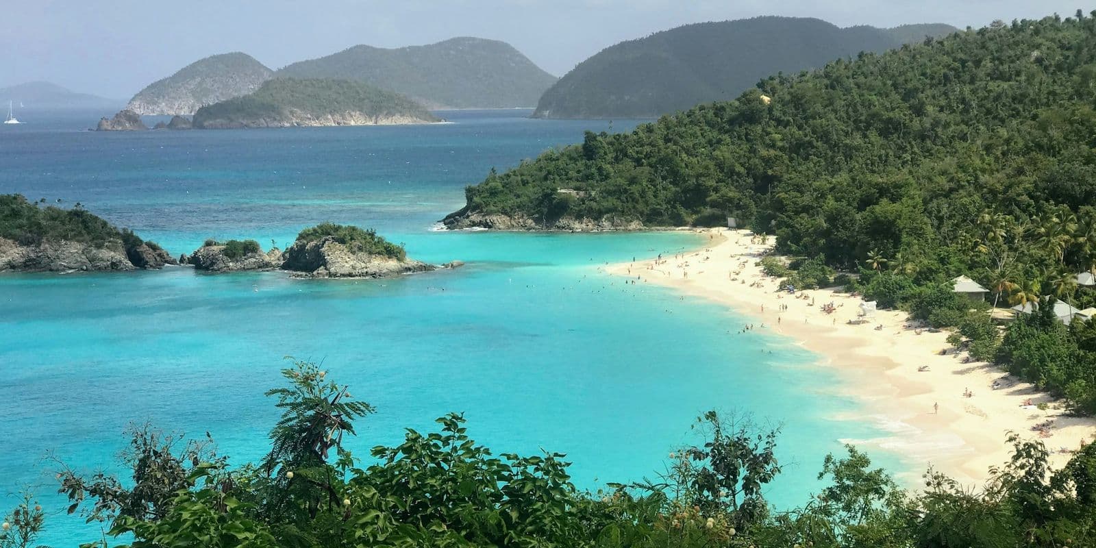
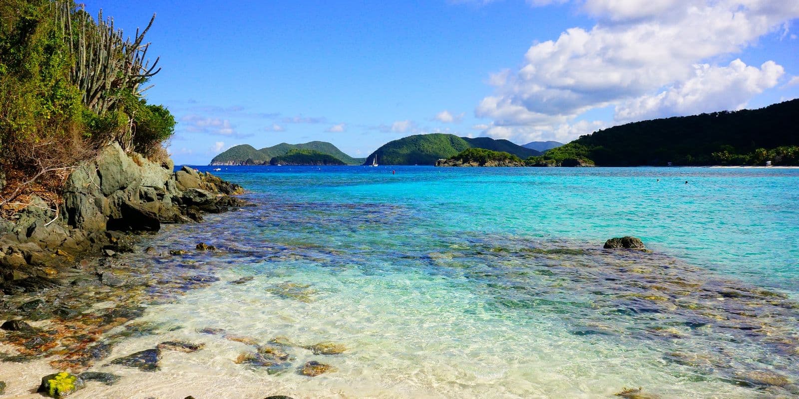
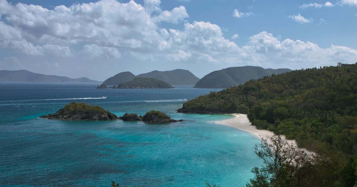
Trunk Bay and Trunk Cay from the North Shore Road overlook on St. John, under broken cloud.
US Virgin Islands

St. John, US Virgin Islands

Cruz Bay now85°mostly clear· water 86°

St. John is the smallest of the three main US Virgin Islands, and almost 58 percent of its land is national park. There is no airport; the way in is a 20-minute ferry from St. Thomas. Cruz Bay is the town, the North Shore has the beaches, Coral Bay is the quiet end, and the hills ask for a car.

The land

Most of the land is park.

The North Shore beaches sit inside it, and only Trunk Bay charges entry: $5 a person, 16 and over, paid by card or phone at the gate.

Arriving

There is no airport.

Every flight lands on St. Thomas, and the crossing is by boat: the 20-minute ferry from Red Hook, or the barge with a car.

Staying

Houses, not hotels.

St. John has very few hotels. Renting a house is not the cheaper way to stay here; it is the normal one, and the owner is the person who answers you.

Where to stay on St. John

Stay in Cruz Bay to walk to the ferry and the restaurants. Stay at Great Cruz Bay or Chocolate Hole for the water, and in Coral Bay for the quiet end, 28 minutes from the ferry over the mountain road.

Area to stay Beach (a palm) Ferry dock, car barge Capital, main town Ferry route US and British waters Park landOpen the full map

Every island on one mapSt. Thomas, St. John and the British Virgin Islands together, with the border, the airports and the ferry docks.

Great Cruz Bay

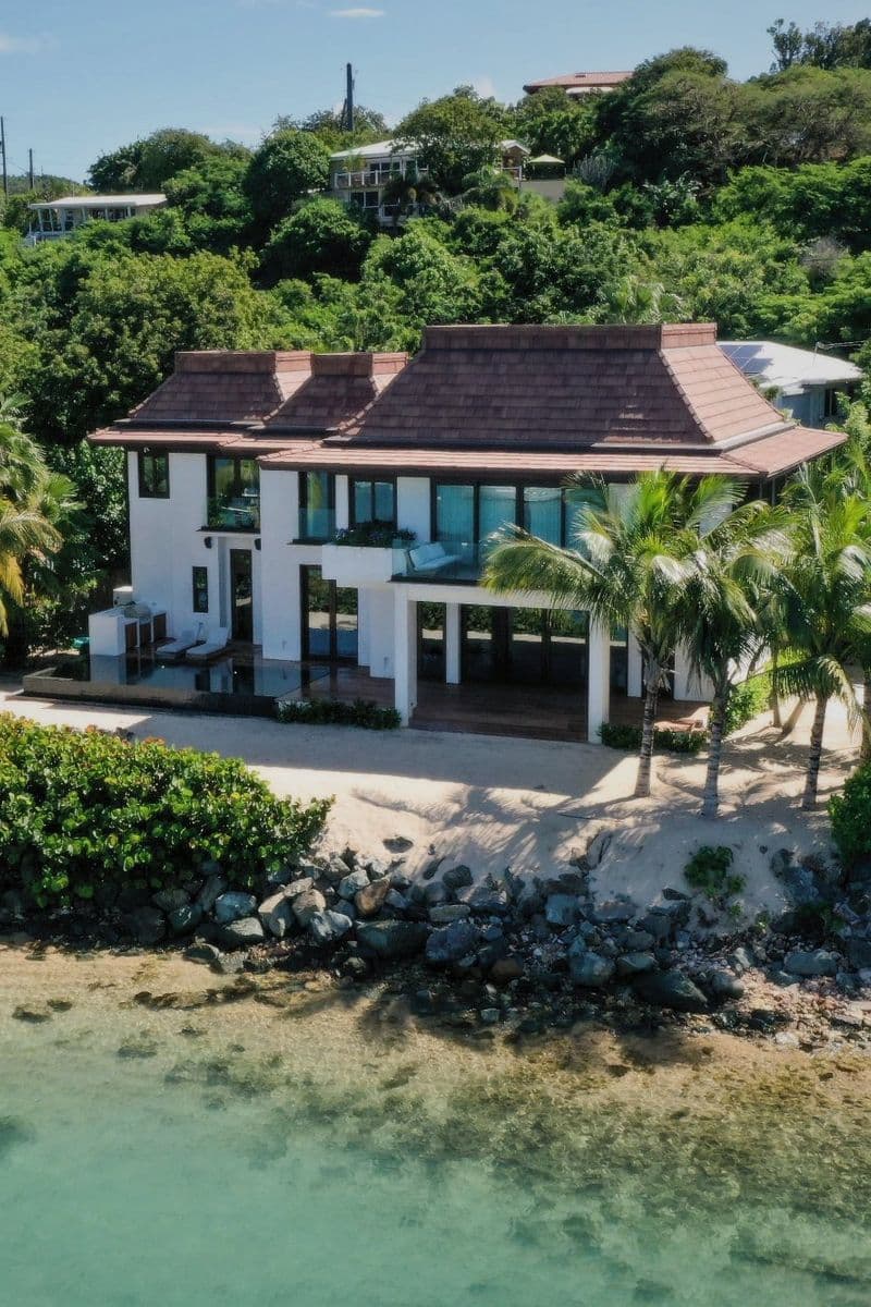
Great Cruz Bay is the resort side of St. John: a sheltered bay on the southwest coast with the Westin St. John Resort Villas at its head and private houses on the slopes behind. It suits a family that wants a pool, calm water and a house rather than a hotel room, and does not mind driving to dinner.

1 villa in Great Cruz Bay, from $4,000

12 mindrive to town

  • Calm swimming
  • On the beach
  • Sunset side

Cruz Bay

Cruz Bay is St. John's ferry town and the one place on the island where dinner is a walk: the dock, the restaurants, the National Park visitor center and the grocery sit a few streets apart. It suits a first visit or a short one. You do not need a car to stay here, but we recommend one, because the beaches are a drive.

No villas here yet: read the Cruz Bay guide
  • Walk to dinner
  • Grocery in town
  • Liveliest at night

Chocolate Hole

Chocolate Hole is the hillside and small bay just past Great Cruz Bay on St. John's south shore: private houses with pools and water views, close enough that dinner in town is a short drive. It suits a party that wants a house and a view more than a beach, and a car for the steep driveways.

No villas here yet: read the Chocolate Hole guide

7 mindrive to town

Rendezvous Bay

Rendezvous Bay is a quiet residential bay on St. John's south shore, private villas above Klein Bay and Ditleff Point, with no shop or restaurant and a small beach below the point. It suits a group that wants a house above the water and will drive for everything else. How you reach the sand depends on the house.

No villas here yet: read the Rendezvous Bay guide

19 mindrive to town

Compare all 13 areas side by side

St. John beaches

Trunk Bay has the marked snorkel trail, showers and a snack bar. The park names Maho Bay for sea turtles, and Maho and Francis as the North Shore bays that winter swell troubles least.

Calmest today, Oct 23: Trunk Bay, Caneel Bay and Cinnamon Bay. From the morning swell against the way each bay opens, our read from the map; each beach page has the numbers.

  • Trunk Bay, St. John, from the overlook: the white beach, Trunk Cay and turquoise water

    Trunk Bay

    Trunk Bay is the North Shore beach with the underwater snorkel trail.

    • Sheltered today
    • Entry fee
    • Snorkel trail
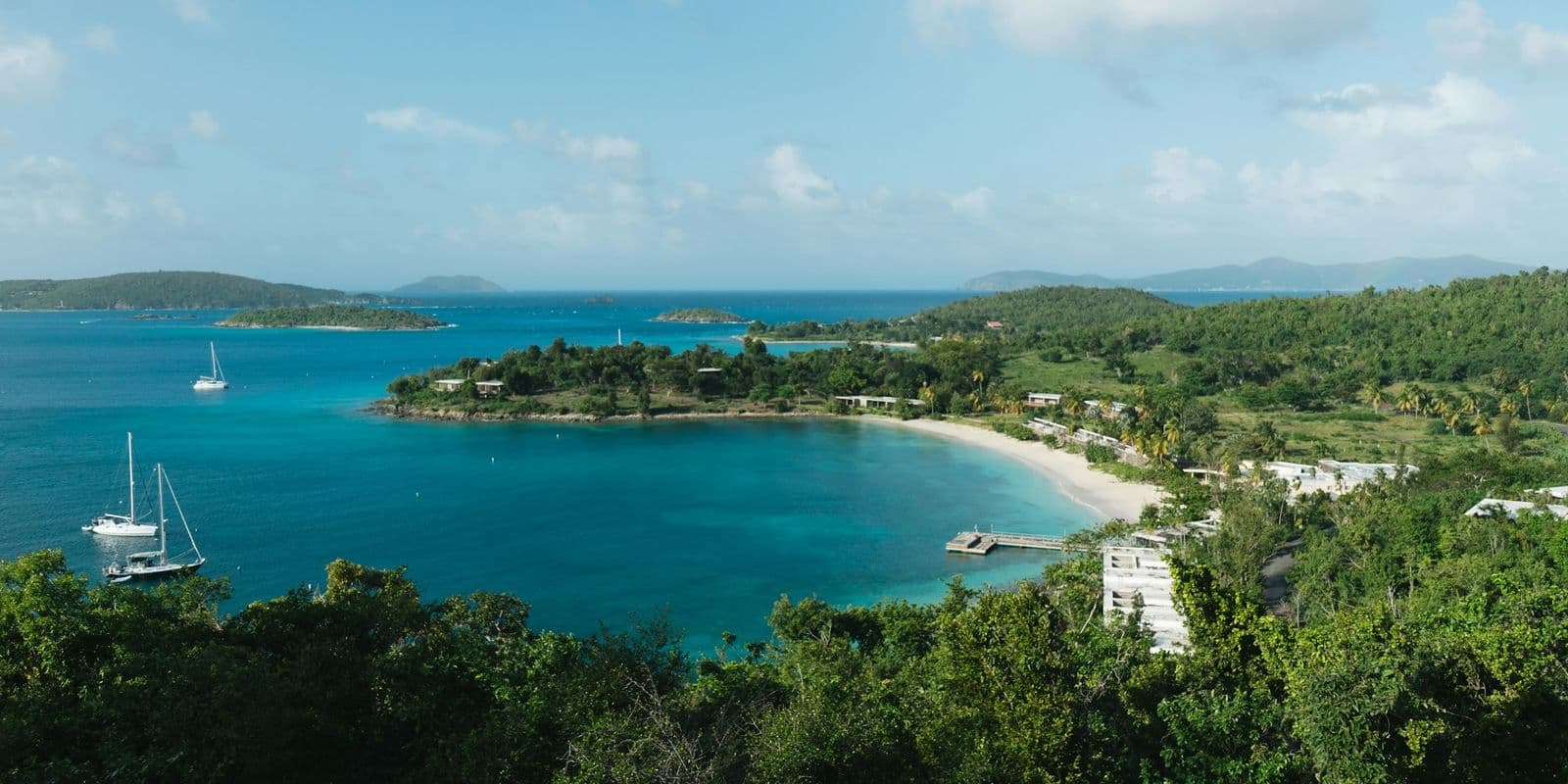
  • A St. John north shore bay from the road overlook: a curved beach, a dock and sailboats at anchor

    Caneel Bay

    Caneel Bay Resort has stood closed since the hurricanes of 2017.

    • Sheltered today
    • Free
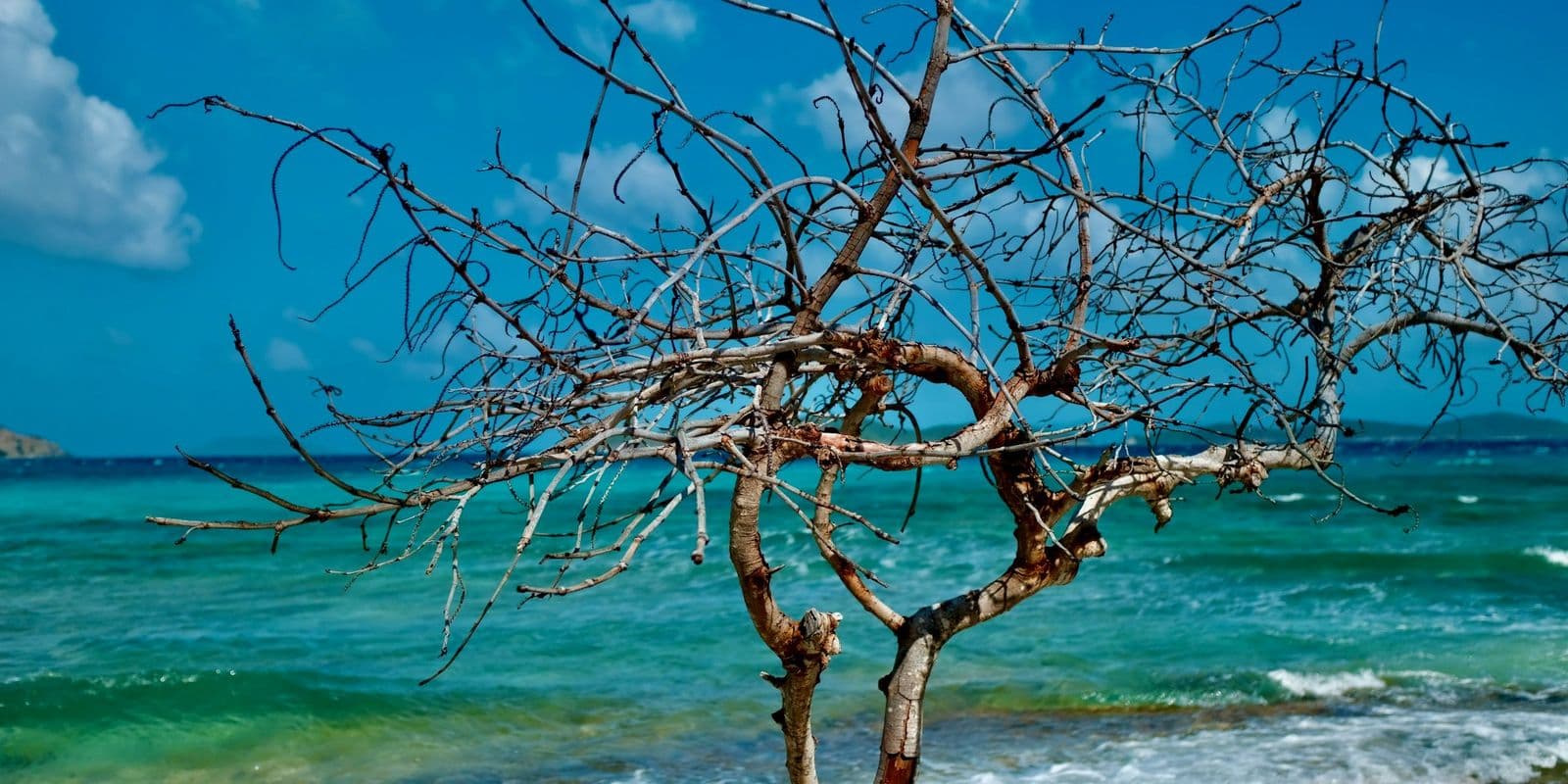
  • A bare tree on a rocky shore with surf breaking and turquoise water behind, U.S. Virgin Islands.

    Cinnamon Bay

    Cinnamon Bay is one of the longest beaches in Virgin Islands National Park.

    • Sheltered today
    • Free
    • Longest beach
  • A palm trunk on a sandy beach with calm water and a green hillside behind, U.S. Virgin Islands.

    Honeymoon Beach

    Honeymoon Beach on St. John is a park beach you walk to.

    • Sheltered today
    • Free
    • Restrooms
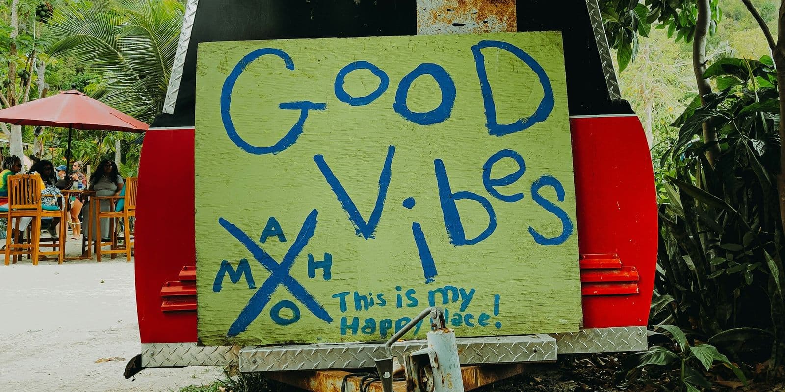
  • A hand-painted "Good Vibes" sign marked MAHO on the back of a trailer at Maho, St. John.

    Maho Bay

    Maho Bay is where St. John's sea turtles graze.

    • Sheltered today
    • Free
    • Turtles
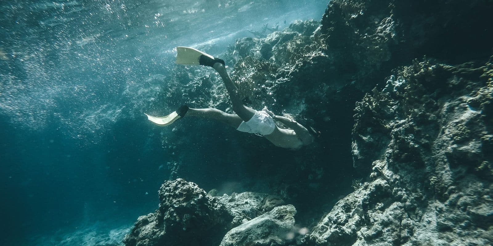
  • A freediver swimming along an underwater rock wall, light through the surface, US Virgin Islands

    Waterlemon Cay

    Waterlemon Cay is the island off Leinster Bay with some of the richest snorkeling on St. John.

    • Sheltered today
    • Free
    • Walk in
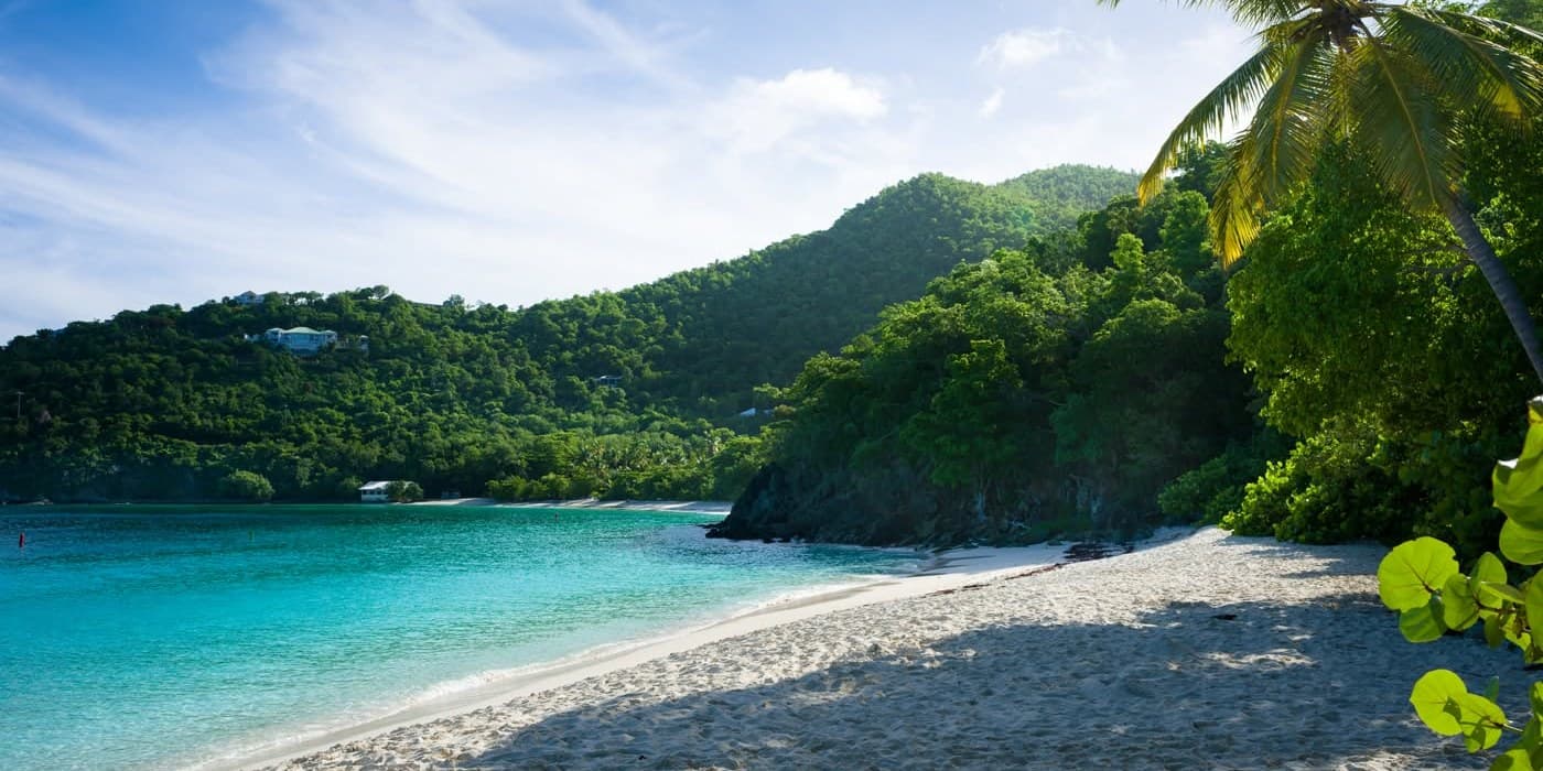
  • Hawksnest Beach, St. John: shaded sand, sea grape and palm, green hills across the bay.

    Hawksnest Beach

    Hawksnest Beach is a short, shaded park beach on St. John's North Shore, a few minutes' drive from Cruz Bay, with three fingers of elkhorn coral running out from the sand.

    • Sheltered today
    • Free
    • Restrooms
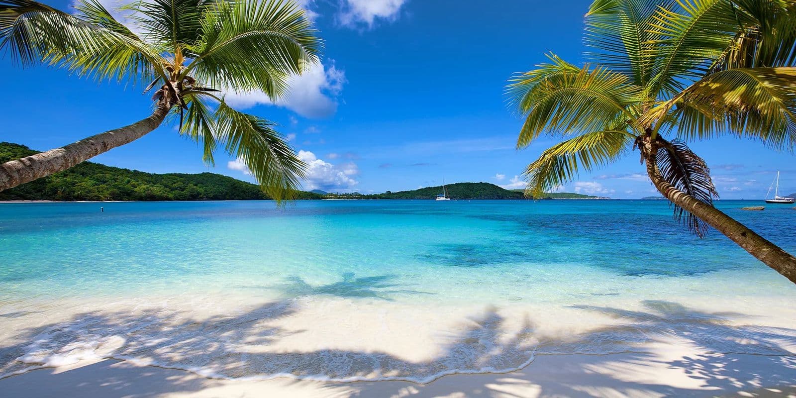
  • Oppenheimer Beach, St. John: two leaning palms and their shadows on white sand, boats in the bay.

    Oppenheimer (Gibney) Beach

    Oppenheimer Beach and Gibney Beach are two names for one quiet stretch of sand on Hawksnest Bay.

    • Sheltered today
    • Free
  • A sailboat on a mooring in calm blue water under green hills, St. John.

    Francis Bay

    Francis Bay is the last North Shore beach on St. John you can drive to.

    • Sheltered today
    • Free
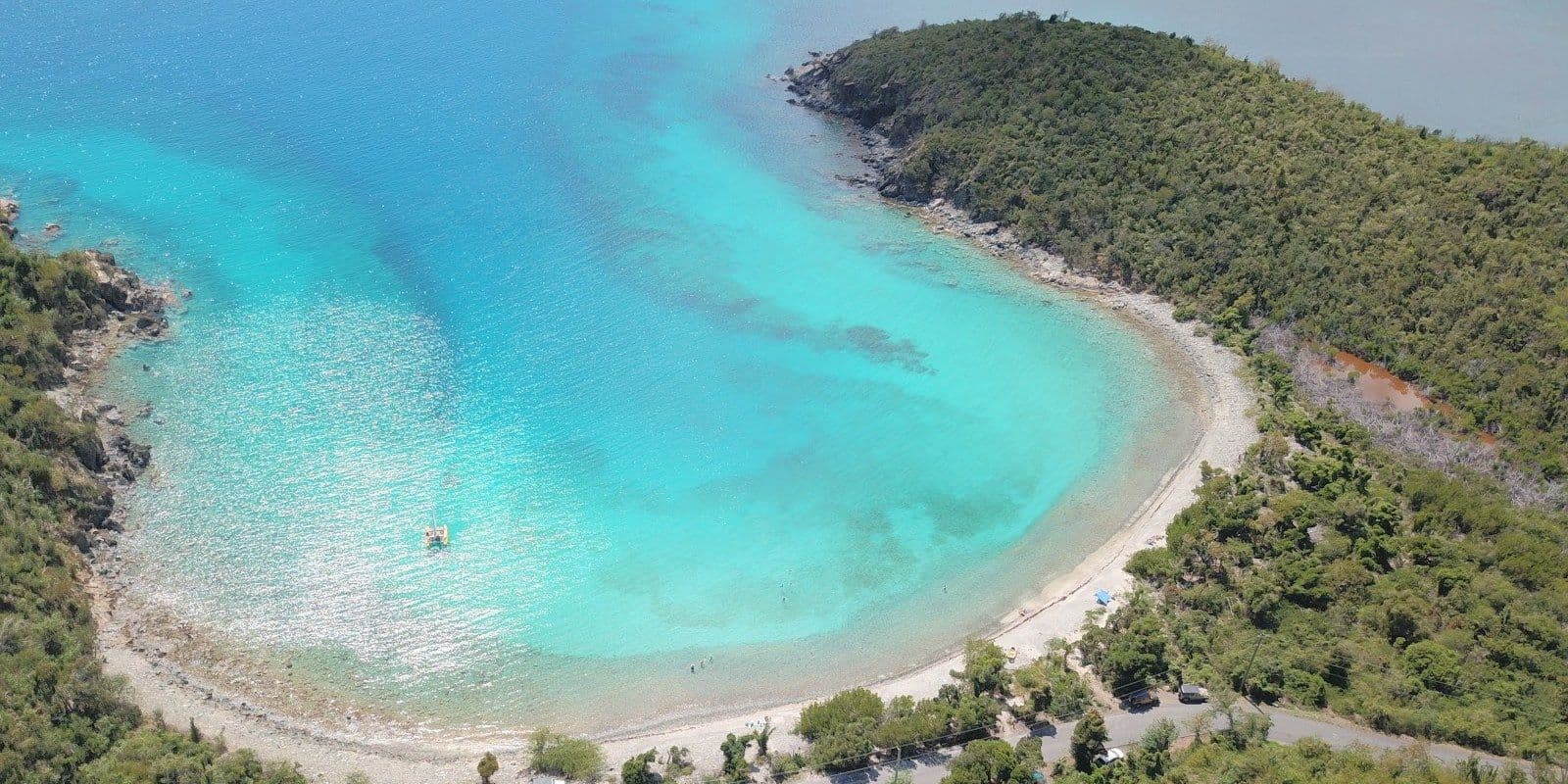
  • Aerial view of Salt Pond Bay, St. John: boats on moorings in a narrow turquoise bay

    Salt Pond Bay

    Salt Pond Bay is a long, curved beach on St. John's south shore, inside the national park and calm most days, with turtles over the seagrass and trails to Drunk Bay and Ram Head.

    • Sheltered today
    • Free
    • Restrooms
  • Aerial view of Hansen Bay, St. John's East End: a white beach under a green hill, reef offshore

    Hansen Bay

    Hansen Bay beach is a short, quiet stretch of sand at the far East End of St. John, past Coral Bay and outside the national park.

    • Sheltered today
    • Free
  • White sand curving to a rocky point at Solomon Beach, St. John, with turquoise shallows in full sun.

    Solomon Beach

    Solomon Beach on St. John is the first beach on the Lind Point Trail.

    • Sheltered today
    • Free
  • Clear shallows over rock at Jumbie Beach, St. John, with a rocky point and cactus on the left

    Jumbie Beach

    Jumbie Beach is a small, hidden cove on St. John's North Shore, tucked below the road between Hawksnest and Trunk Bay and reached by a flight of wooden stairs.

    • Some swell today
    • Free
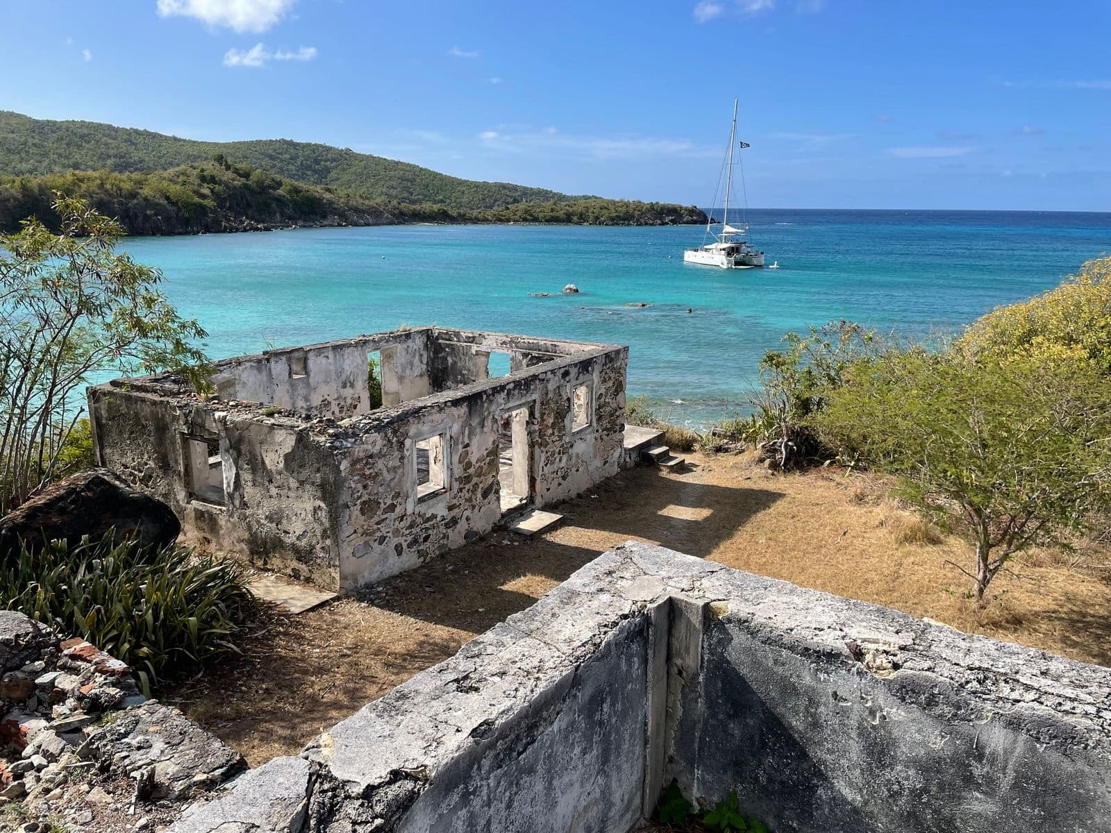
  • A roofless stone ruin above Lameshur Bay, St. John, with a catamaran at anchor behind it

    Lameshur Bay

    Lameshur Bay is two free national park beaches on the quiet south shore of St. John.

    • Some swell today
    • Free
  • Frank Bay

    Frank Bay is the town beach on St. John.

    • Sheltered today
    • Free
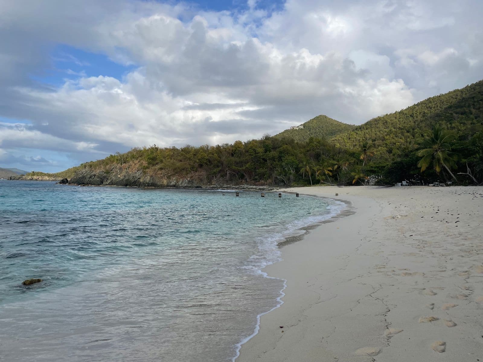
  • The curve of white sand at Denis Bay, St. John, with palms and a green hillside behind

    Denis Bay

    Denis Bay beach on St. John, sometimes written Dennis Bay, is a North Shore beach no road reaches: you leave the car at the Peace Hill lot and walk a few minutes down a side path.

    • Sheltered today
    • Free
  • Aerial view of Haulover Bay, St. John's East End: a pale beach, the road behind, turquoise shallows

    Haulover Bay

    Haulover Bay is two beaches at one roadside stop on the East End of St. John.

    • Some swell today
    • Free
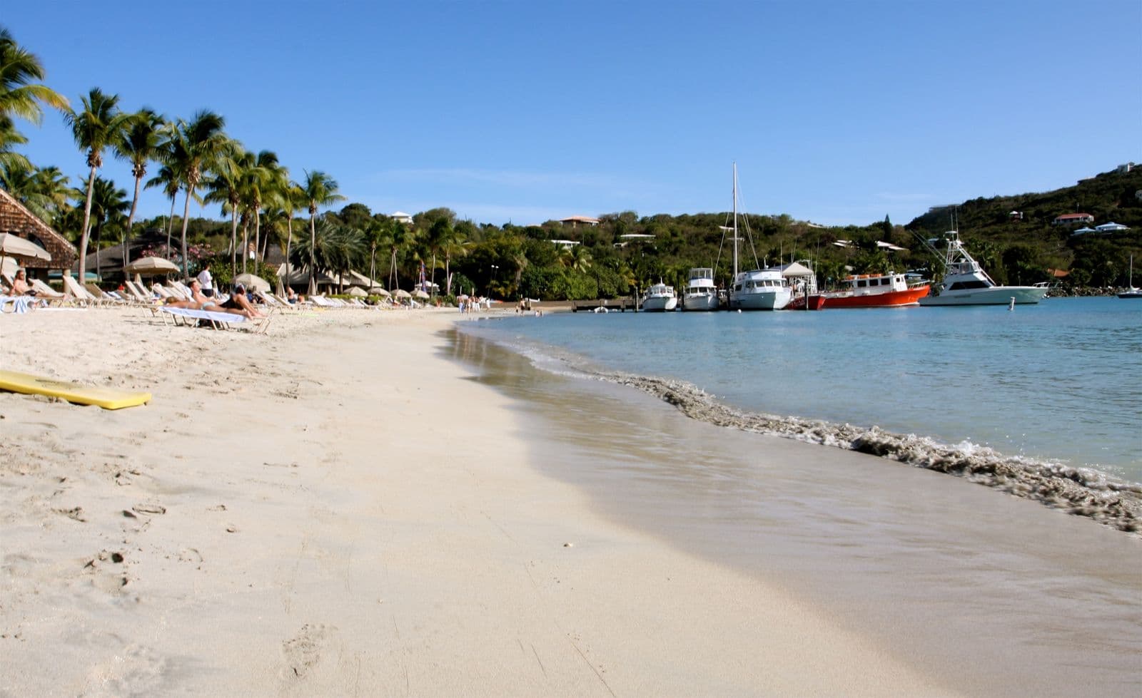
  • Lounge chairs and thatched umbrellas under palms along the sand at Great Cruz Bay, St. John

    Great Cruz Bay Beach

    Great Cruz Bay Beach is the sand in front of the Westin St. John Resort Villas.

    • Sheltered today
    • Free
Compare all 18 beaches

Villas on St. John, listed by their owners

Indo House
Indo House
Great Cruz Bay, St. John · 4 bedrooms
From $4,000 / night
Featured

Getting to St. John

The usual way: a taxi to the Red Hook ferry terminal (36 min), then the ferry to Cruz Bay (20 min, $8.15 a person). About 56 minutes from Cyril E. King airport to St. John, more on cruise-ship days. Two other ways across are below, with times and fares.

  1. 1 · FlyTo St. Thomas (STT). St. John has no airport of its own.
  2. 2 · TaxiThe airport to Red Hook is 36 minutes by road, more on cruise-ship days. From the Cruz Bay dock, Trunk Bay is $12 for one rider, $9 each for two or more, on the Taxicab Commission's 2022 tariff.
  3. 3 · Ferry20 minutes from Red Hook to Cruz Bay, about hourly, $8.15 an adult one way per Transportation Services of St. John, October 2026. Plan around a 10 pm last boat.
  4. 4 · CarRent a car in Cruz Bay, or take one across on the barge from Red Hook, $65 one way on the operators' rates pages as of October 2026. A St. Thomas rental crosses only if its company allows it.
  • Taxi to Red Hook, then the ferryThe route most guests take. The taxi is the long part; allow extra on cruise-ship days.56 min$8.15 a person
  • Taxi to Crown Bay, then the Inter Island boatThe closest boat to the airport and the fastest door to dock, but two sailings a day, four Friday to Sunday. It lands at Cruz Bay Creek, not the main ferry dock.43 min$20 a person
  • The car bargeOnly with your own car, or a rental whose company allows the crossing: National and Discount Car Rental say theirs may go (their own pages, 2026-10-09), so ask yours first. Most people rent on St. John. The crossing is about 25 minutes, per Love City Car Ferries.$65 a car one way

Four more ways across, with fares, timetables and operators.

St. Thomas to St. John ferry

Fares and crossing times from the operators’ own timetables (VITRAN, run by Transportation Services and Varlack Ventures; Inter Island Boat Services; Big Red Barge, Love City Car Ferries and Global Marine), checked 2026-10-09. Trunk Bay entry from the National Park Service fee schedule.

When to go to St. John

On NOAA's 1991 to 2020 normals, February and March are the driest months, at 1.9 inches of rain each, and they book first. The storm risk sits from August to October, the rain from September to November.

  • Jan: dry and busy
  • Feb: dry and busy
  • Mar: dry and busy
  • Apr: dry and busy
  • May: quieter, warmer sea
  • Jun: quieter, warmer sea
  • Jul: quieter, warmer sea
  • Aug: quieter, warmer sea
  • Sep: the most rain
  • Oct: the most rain
  • Nov: the most rain
  • Dec: dry and busy
  • High season · dry and busy
  • Shoulder · quieter, warmer sea
  • Wet season · the most rain

Seasons

High seasonDec – Apr

Highs of 84 to 86 and the driest stretch of the year. In 34 seasons one storm has passed within 100 km in these months, in December.

ShoulderMay – Aug

Highs of 87 to 90, the sea at 83 to 85, and a quieter island. August brings 6 of the 19 storms on the 34-season record.

Wet seasonSep – Nov

The three wettest months, November the wettest at 6.1 inches. September and October hold 10 of the 19 storms, so buy insurance with the deposit.

St. John weather by monthRain, sea temperature, the hurricane record and the rate index, month by month.

More about St. John

Onward from St. John

Own a house on St. John?

The guest writes to you.

List your house once, for one flat fee a year, never a percentage. You reply, you set the price, you take the booking. We never touch the money.

Start your listing