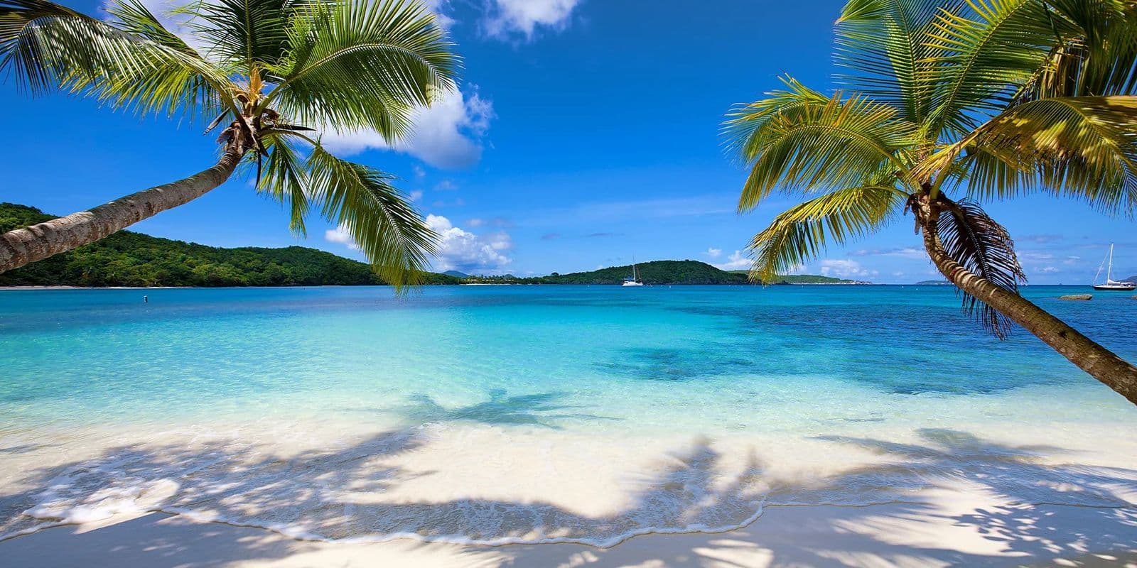
St. John beaches
Trunk Bay is the beach St. John is known for, and the one where the park charges entry: $5 per person, 16 and over, per the National Park Service as of October 2026. For sea turtles, Maho Bay; for a reef reached on foot and then a swim, Waterlemon Cay; for a quiet day, Francis Bay or Lameshur Bay.
Every beach compared
| Beach | Area | Today | Entry | Parking | Restrooms | Shade | Snorkeling | Crowds | From Cruz Bay |
|---|---|---|---|---|---|---|---|---|---|
| Cruz Bay | |||||||||
| Honeymoon Beach | Estate Contant | Sheltered | Free | No road reaches the beach. Walkers start from the park visitor center in Cruz Bay, with a parking pass from its desk, or the first two gravel lots at the North Shore Road trailhead (NPS); the beach club's shuttle fare includes parking at the Caneel Bay gate (its own site) | yes | plenty | 4 / 5 | busy | 17 min walk |
| Hawksnest Beach | Cruz Bay | Sheltered | Free | One lot beside the road, no count published; limited and often full by mid-morning (NPS, October 2026) | yes | plenty | 4 / 5 | moderate | 8 min drive |
| Oppenheimer (Gibney) Beach | Cruz Bay | Sheltered | Free | No lot. A few roadside spaces beside the gate, which must stay clear | none | some | 3 / 5 | quiet | 9 min drive |
| Solomon Beach | Estate Contant | Sheltered | Free | None at the beach. Walkers leave a car at the park visitor center in Cruz Bay with a parking pass from the desk, or in the first two gravel lots at the North Shore Road trailhead (NPS) | none | some | 4 / 5 | quiet | 16 min walk |
| Frank Bay | Estate Contant | Sheltered | None: a public beach outside the national park, beside a town road | No lot or count published; the beach is 9 minutes on foot from the ferry dock | none | sparse | 3 / 5 | quiet | 4 min drive |
| Great Cruz Bay Beach | Great Cruz Bay | Sheltered | None: the shoreline is public by territorial law, and the small lot at the south end is free to park in (October 2026) | A small free lot at 18.32061, -64.78601, a dropped pin rather than a named lot, about a minute's walk from the south end of the sand by our read (Nathan, Oct 9, 2026); the resort's own lot for activities that leave from the Westin, $25 a day for its rental guests from June 2026 | limited | some | 2 / 5 | moderate | 9 min drive |
| North Shore | |||||||||
| Trunk Bay | North Shore | Sheltered | $5 per person, 16 and over; card or mobile payment only | One small lot at the entrance; no count is published and it fills early | yes | some | 4 / 5 | ship-days | 13 min drive |
| Caneel Bay | North Shore | Sheltered | Free | Three public lots inside the Caneel Bay entrance, with a paved path to the beach (NPS); no space count is published | limited | some | 4 / 5 | quiet | 7 min drive |
| Cinnamon Bay | North Shore | Sheltered | Free | Lot off the U-shaped drive behind the campground; the beach is a walk through the campground on paved paths the park lists as accessible (operator; NPS) | yes | some | 4 / 5 | busy | 17 min drive |
| Maho Bay | North Shore | Sheltered | Free | Gravel lot of 33 spaces at the eastern end, rebuilt in 2017 (NPS); the park's reopening notice names a second parking area | yes | some | 4 / 5 | busy | 18 min drive |
| Waterlemon Cay | North Shore | Sheltered | Free | The Annaberg parking lot at the end of the Leinster Bay spur road, shared with the sugar plantation ruins (NPS); no source publishes a space count | none | sparse | 4 / 5 | moderate | 27 min drive + 20 min walk |
| Francis Bay | North Shore | Sheltered | Free, as of October 2026 | Two lots, one at the beach end and one at the sugar factory trailhead (National Park Service, October 2026); the beach lot holds about a dozen cars by a local account, with overflow along the access road | limited | plenty | 4 / 5 | quiet | 25 min drive |
| Jumbie Beach | Hawksnest | Some swell | Free, as of October 2026 (NPS) | A few roadside spaces on North Shore Road, no count published; the park says North Shore lots fill by 10 am (NPS, as of October 2026) | none | some | 3 / 5 | quiet | 11 min drive |
| Denis Bay | Hawksnest | Sheltered | Free, as of October 2026 (National Park Service) | A small lot at the Peace Hill trailhead on North Shore Road; no count published as of October 2026 | none | some | 3 / 5 | quiet | 10 min drive + 4 min walk |
| East End and Coral Bay | |||||||||
| Salt Pond Bay | Kiddel Bay | Sheltered | Free | Small lot at the trailhead on Route 107; the park calls it limited, and no source publishes a count (NPS) | yes | sparse | 4 / 5 | moderate | 41 min drive + 10 min walk |
| Hansen Bay | Hansen Bay | Sheltered | No fee published; a parking donation is asked by the family whose land the parking is on (the local guides, read Oct 8, 2026; no operator publishes it) | On private land beside East End Road, where the owners allow it | limited | sparse | 4 / 5 | quiet | 39 min drive |
| Haulover Bay | Hansen Bay | Some swell | Free | Roadside only, room for a few cars by local accounts; some parking along the road, in the park's words (NPS) | none | sparse | 4 / 5 | quiet | 38 min drive |
| Interior and hillside | |||||||||
| Lameshur Bay | Bordeaux Mountain | Sheltered | Free | A dirt lot and roadside spaces beside Little Lameshur; the federal road plans add a lot by Great Lameshur | limited | some | 4 / 5 | quiet | 45 min drive |
Today is the 7 am reading of Oct 16: whether the morning swell runs onto the beach, from the way each bay opens (our read from the map) against the wave direction at the nearest ocean cell; each beach page has the numbers, the rip current call and the water test. Rows show a dash where a fact has not been checked yet. Each beach page carries the date its facts were verified.
St. John beaches on a map
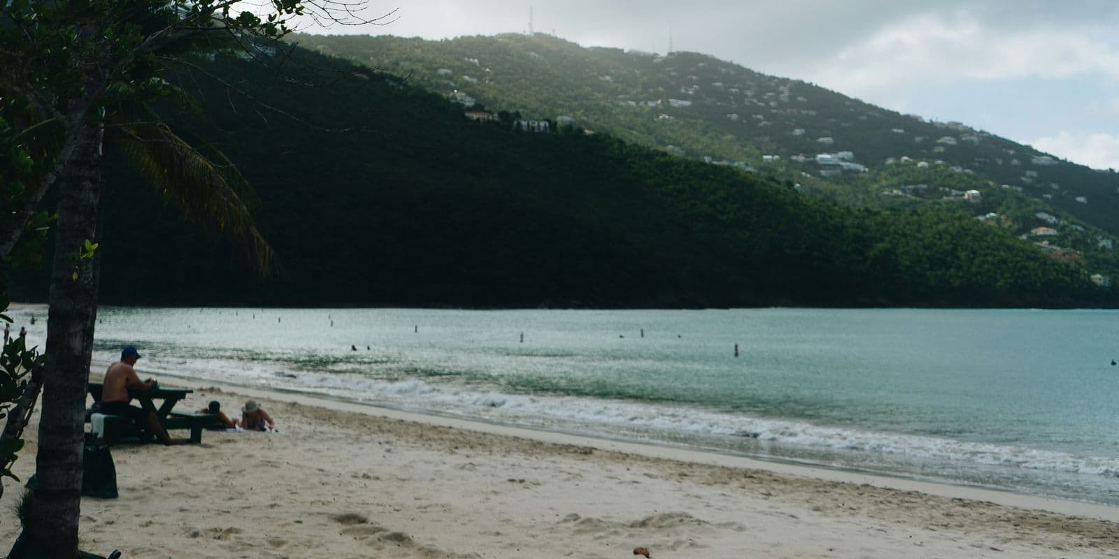
Cruz Bay beaches
The beaches nearest the ferry, and three of them need no car: Frank Bay is a walk through town, and Solomon Beach and Honeymoon Beach are on the Lind Point Trail from the park visitor center. Hawksnest Beach and Oppenheimer Beach share one bay on North Shore Road.
6 beaches, 4 to 9 minutes by car from Cruz Bay
- Honeymoon Beach
Honeymoon Beach is a National Park beach on St. John with no road in: 1.4 km on foot from the park visitor center in Cruz Bay by the Lind Point Trail, by shuttle, or by boat.
- Hawksnest Beach
Hawksnest Beach, St. John, USVI, is a National Park beach on the North Shore, 8 minutes by car from Cruz Bay.
- Oppenheimer (Gibney) Beach
Oppenheimer Beach, St. John, is the same sand as Gibney Beach: two names for one beach on Hawksnest Bay, 9 minutes by car from Cruz Bay and free, since the park charges only at Trunk Bay, per the National Park Service as of October 2026.
- Solomon Beach
Solomon Beach, St. John, is the first beach on the Lind Point Trail, over a mile on foot from Cruz Bay, with no road to it.
- Frank Bay
Frank Bay, St. John, USVI, is the town beach on the south edge of Cruz Bay, 9 minutes on foot from the ferry dock.
- Great Cruz Bay Beach
Great Cruz Bay Beach is the sand in front of the Westin St. John Resort Villas, 9 minutes from Cruz Bay by car, with a small free lot at its south end.
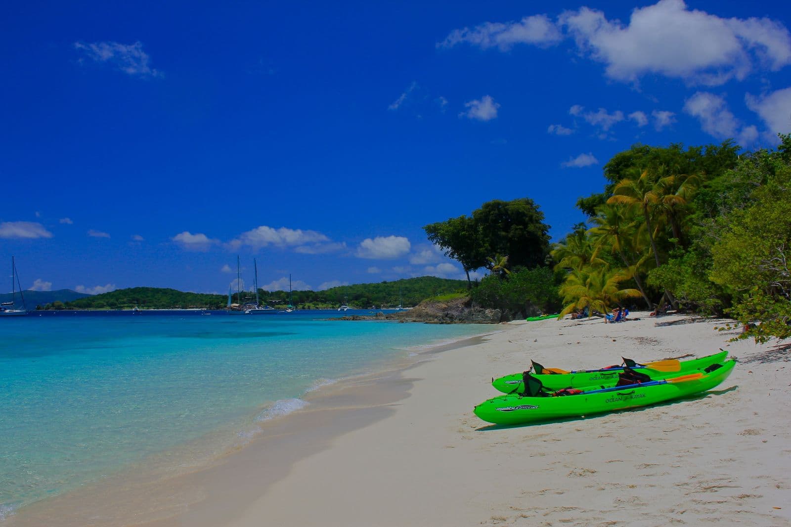
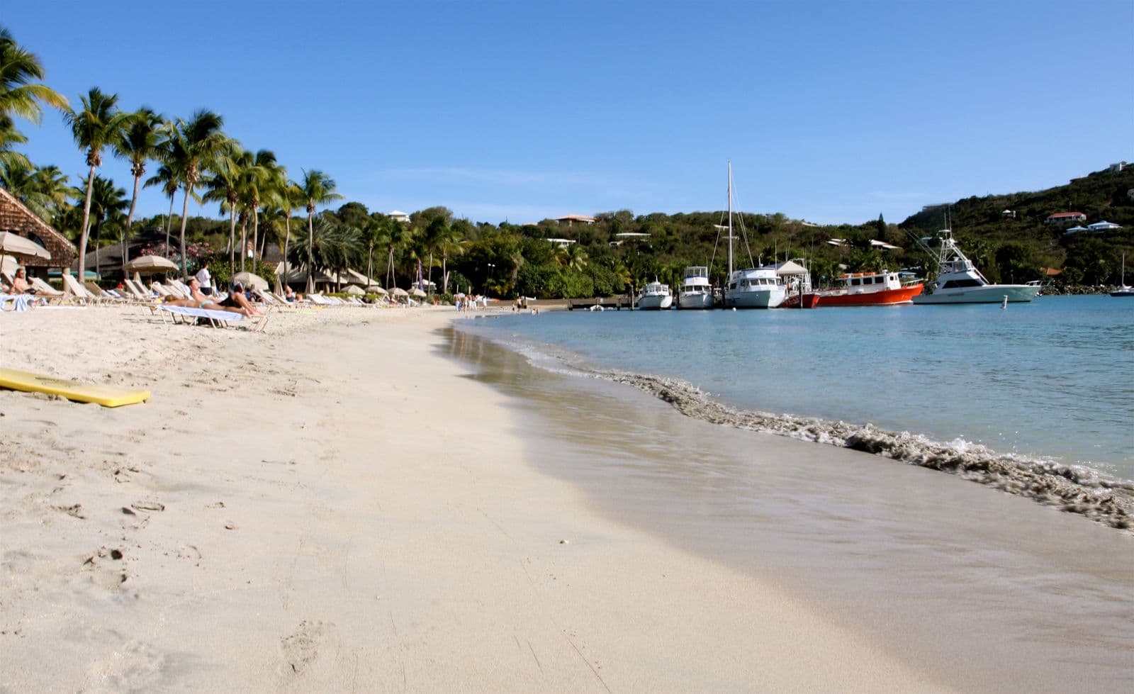
North Shore beaches
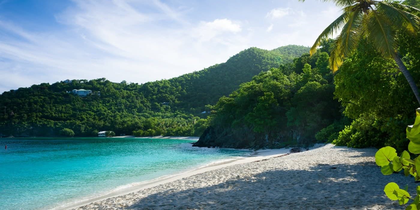
North Shore Road strings the National Park beaches into one drive east, Caneel Bay first and Francis Bay last, and only Trunk Bay charges. Waterlemon Cay is off the far end, a walk from the Annaberg lot and then a swim.
8 beaches, 7 to 25 minutes by car from Cruz Bay
- Trunk Bay
Trunk Bay is a National Park Service beach on St. John's North Shore, 13 minutes by car from Cruz Bay.
- Caneel Bay
Caneel Bay Resort on St. John has been closed since the September 2017 hurricanes.
- Cinnamon Bay
Cinnamon Bay is one of the longest beaches in Virgin Islands National Park, 17 minutes east of Cruz Bay, with the park's one campground behind the sand. As of October 2026 entry is free and the campground closes every September and October, per the National Park Service.
- Maho Bay
Maho Bay is the beach the National Park Service names for sea turtles, 18 minutes east of Cruz Bay on St. John's North Shore and free, with no park entrance fee as of October 2026.
- Waterlemon Cay
Waterlemon Cay is the small island off Leinster Bay on the North Shore of St. John, inside Virgin Islands National Park.
- Francis Bay
Francis Bay is the last beach on North Shore Road on St. John, 25 minutes by car east of Cruz Bay, and free: the National Park Service asks no entrance pass as of October 2026.
- Jumbie Beach
Jumbie Beach is a small free beach on Jumbie Bay, St. John's North Shore, between Hawksnest and Trunk Bay, 11 minutes by car from Cruz Bay.
- Denis Bay
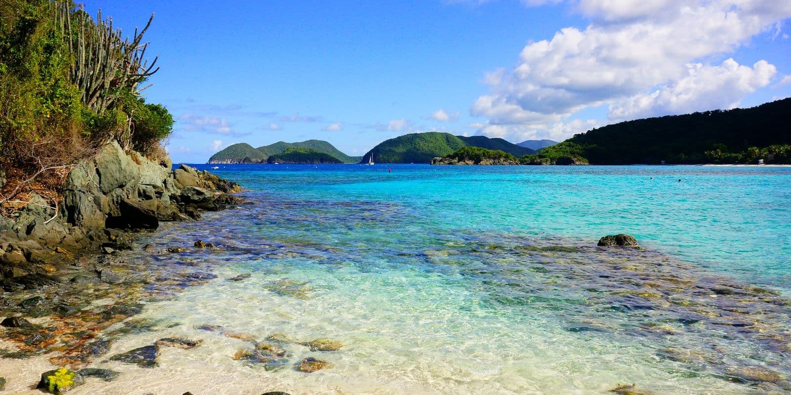
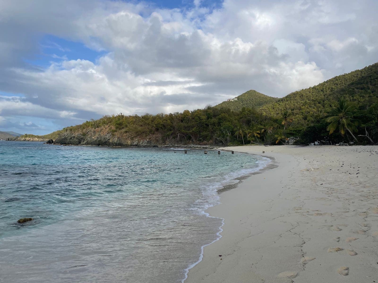
Denis Bay beach, also written Dennis Bay, is a North Shore beach on St. John inside Virgin Islands National Park, and no road reaches it.
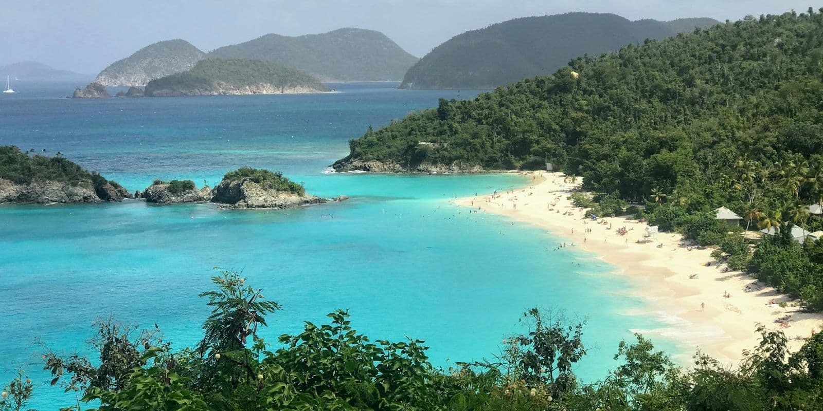
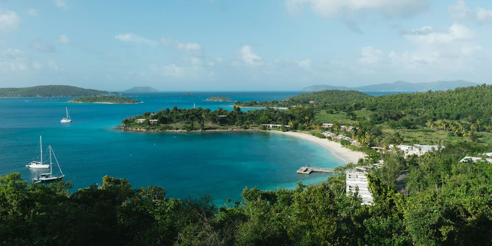
East End and Coral Bay beaches
The far side of St. John, past Coral Bay, where all three beaches score 4 of 5 for snorkeling in our table and the facilities thin out. Salt Pond Bay has restrooms and no tap, Haulover Bay has none, and Hansen Bay parks on private land by its owners' leave.
3 beaches, 38 to 39 minutes by car from Cruz Bay
- Salt Pond Bay
Salt Pond Bay is a National Park beach on the south shore of St. John, 41 minutes by car from Cruz Bay and a 10 minute walk from the lot on Route 107.
- Hansen Bay
Hansen Bay beach is on the East End of St. John, 39 minutes by car from Cruz Bay.
- Haulover Bay
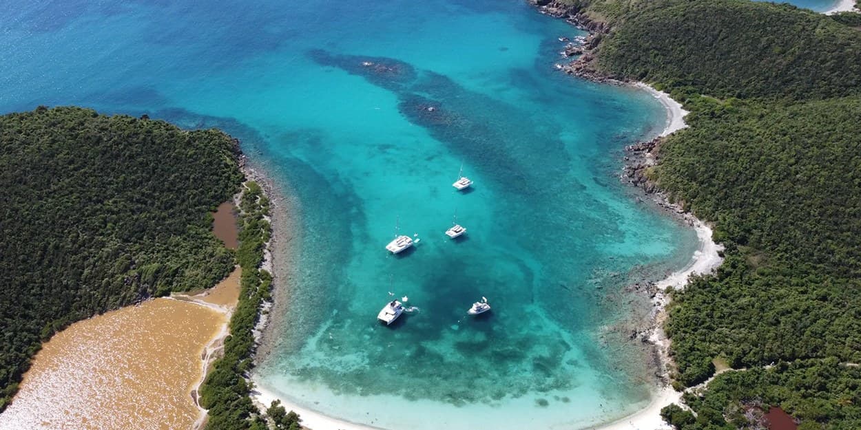
Haulover Bay is two National Park beaches at one roadside stop on the East End of St. John, 38 minutes by car from Cruz Bay: one across the road, one at the end of a short trail.
Interior and hillside beaches
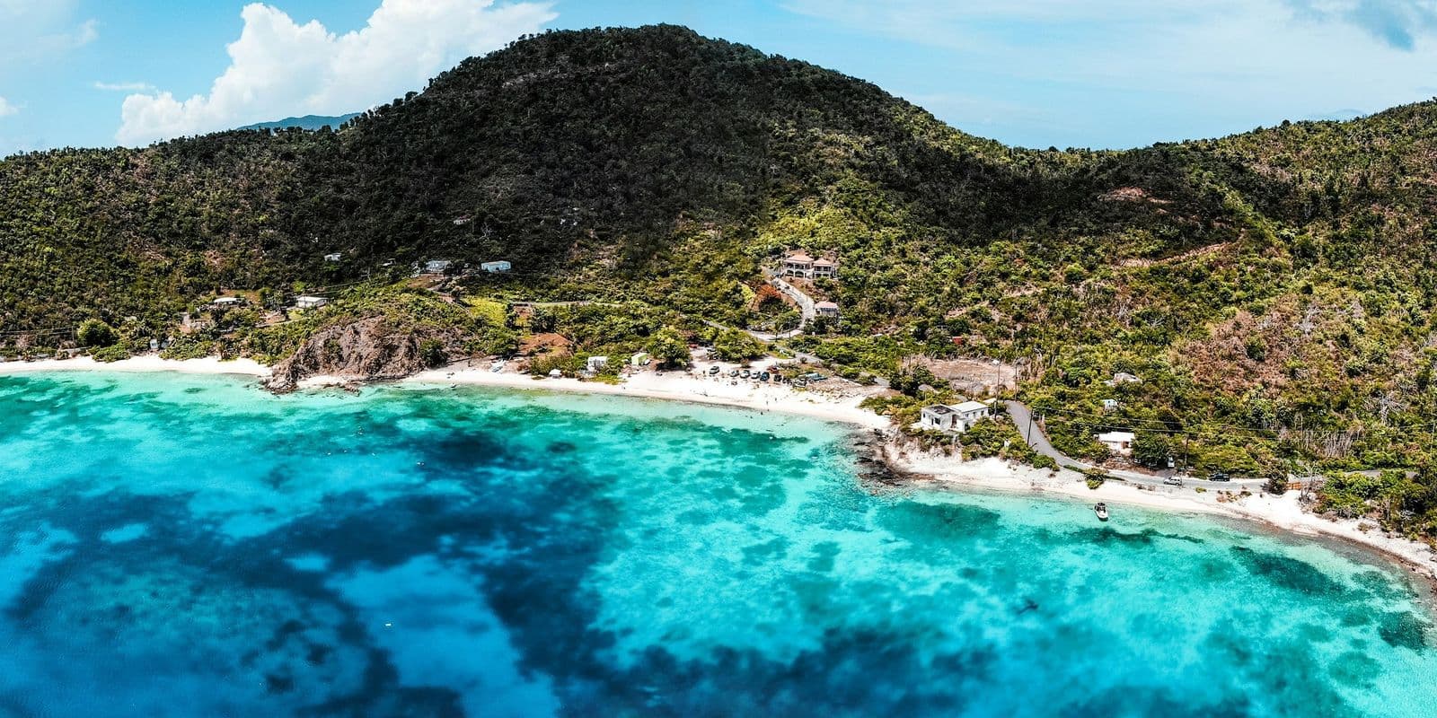
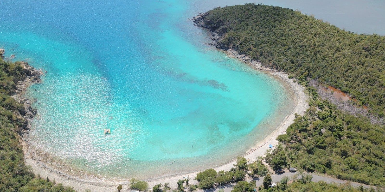
Lameshur Bay is a South Shore beach at the end of the slowest drive in the table, and for the rocky last stretch the National Park Service recommends four-wheel drive, as of October 2026.
One beach, 45 minutes by car from Cruz Bay
Featured villas on St. John
All villas on St. JohnListed by their owners. See rates and dates, then write to the owner.
Questions people ask
- What is the prettiest beach on St. John?
- Trunk Bay is the famous one, and it carries the island's one entry fee and a small lot that fills early. Hawksnest Beach is free and 8 minutes from Cruz Bay, Cinnamon Bay is the long beach with the campground behind it, and Francis Bay is the quiet end of North Shore Road.
- What are the best beaches on St. John?
- The best beaches on St. John for calm water are Maho Bay and Francis Bay; the National Park Service names Maho for families and Francis for beginners, and says both feel the winter swells less than the rest of the North Shore. For sea turtles, Maho Bay, early or late in the day; for a reef, Waterlemon Cay, a walk from the Annaberg lot and then a swim. Trunk Bay is the one with an entry fee.
- Where are the beaches on St. John?
- Most are on the North Shore, along North Shore Road east of Cruz Bay inside Virgin Islands National Park. A few are in and around Cruz Bay, two of them reached only on foot. The rest are on the far side past Coral Bay, and at Lameshur Bay at the end of the South Shore road. The map above places each one.
- Do you have to pay to go to beaches on St. John?
- Only at Trunk Bay, $5 per person, 16 and over, per the National Park Service as of October 2026; the other park beaches ask no pass. Outside the park the shoreline is public by territorial law, though the resort at Great Cruz Bay Beach charges its own rental guests $25 a day to park as of October 2026, and a small free lot sits by the south end of that beach.
- What time do the St. John beach lots fill?
- By about 10 am on the North Shore, the National Park Service says as of October 2026. Arrive before then, or pick a beach that needs no car: Frank Bay is a walk from the ferry dock, and Solomon Beach is on the Lind Point Trail.